|
|
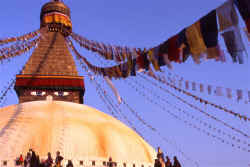
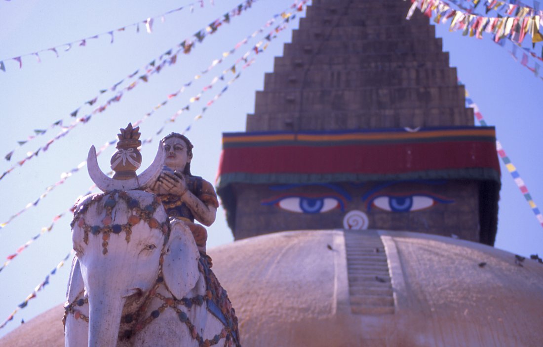
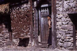
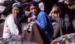
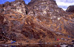
Boudha stupa is a short drive outside main Kathmandu. Tibetans and Sherpas live
in the area and often meet in the morning and late afternoon to circumambulate
the holy chorten.

Buddha's eyes on the stupa in Boudnath gaze out in the four major directions.

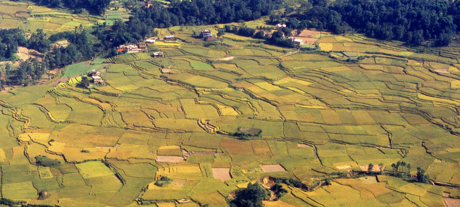
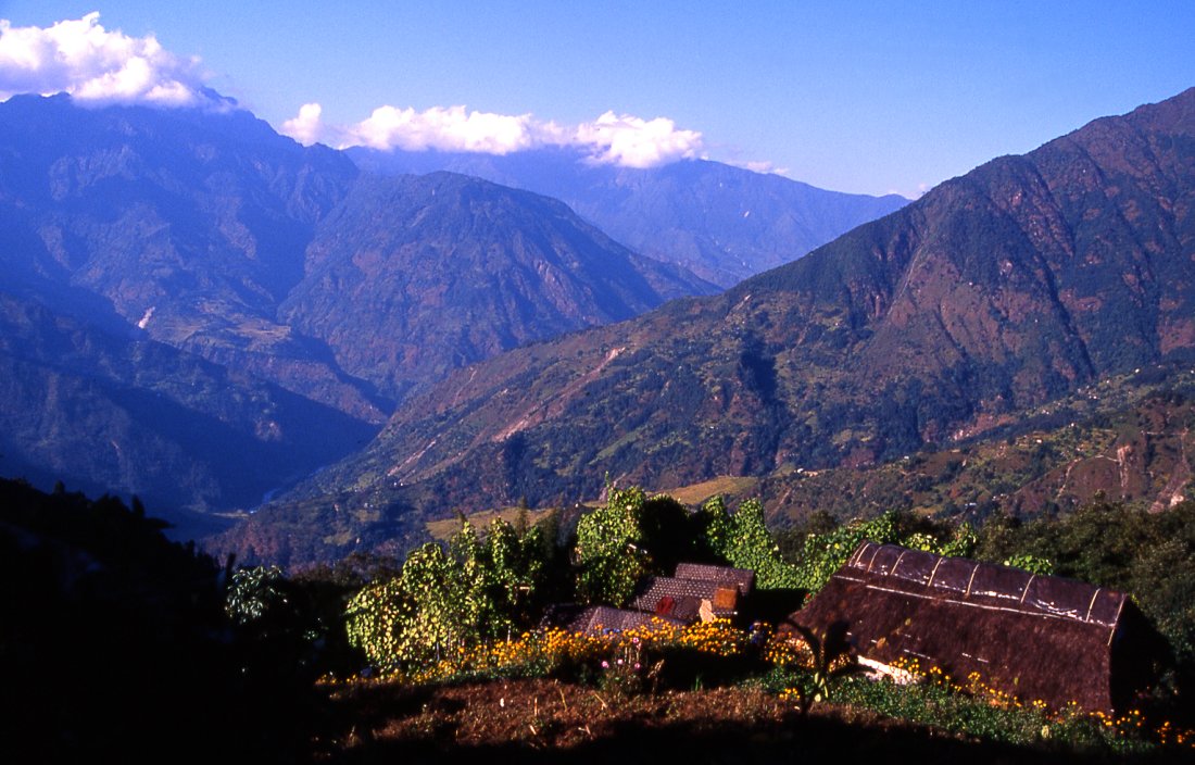
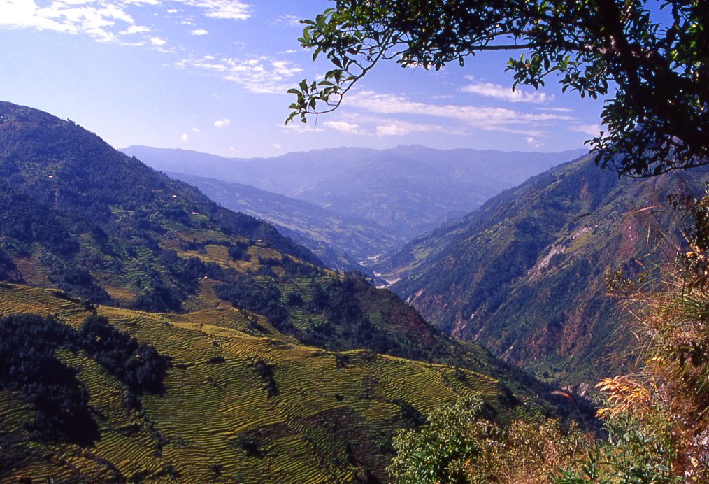
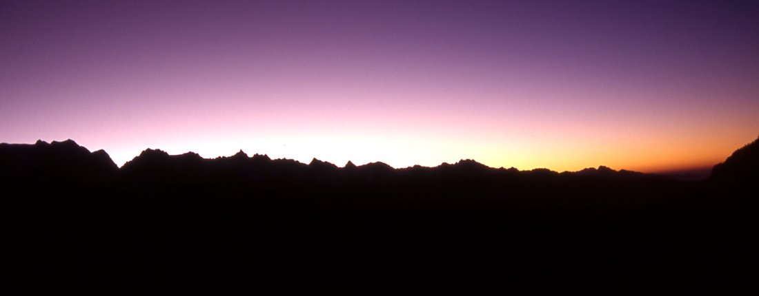
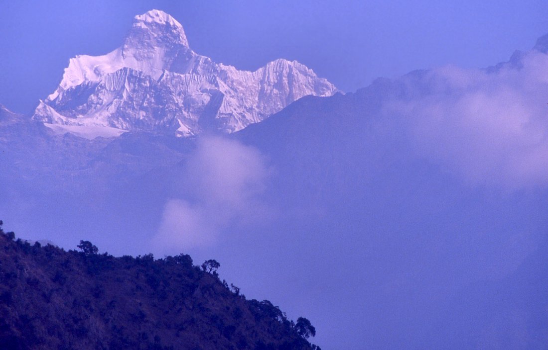
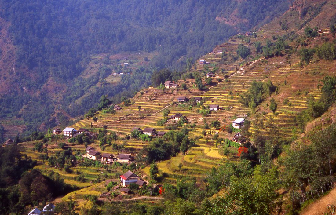
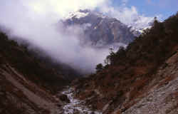
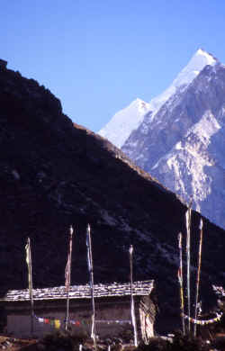
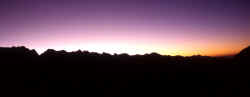
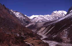
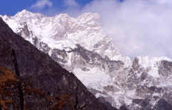
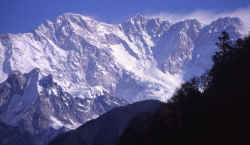
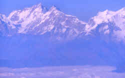
Rice fields in the flat and fertile Kathmandu valley will soon give way to
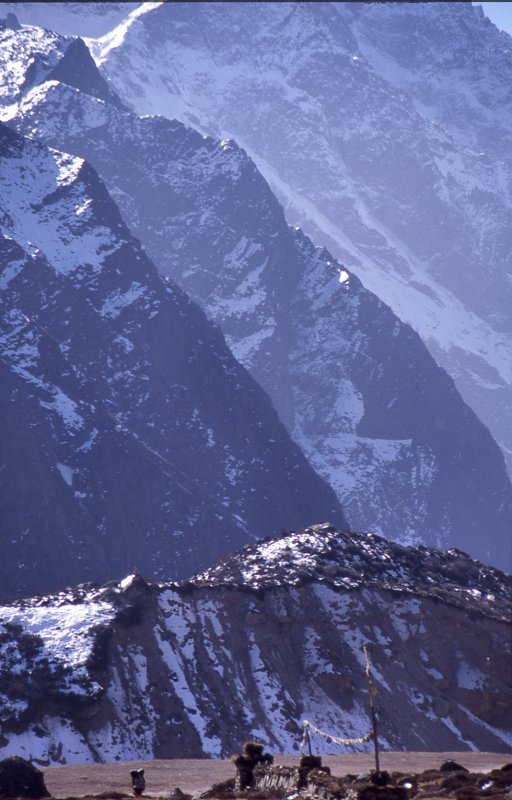
the ice-clad giants form the northern border of Nepal.
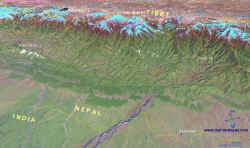
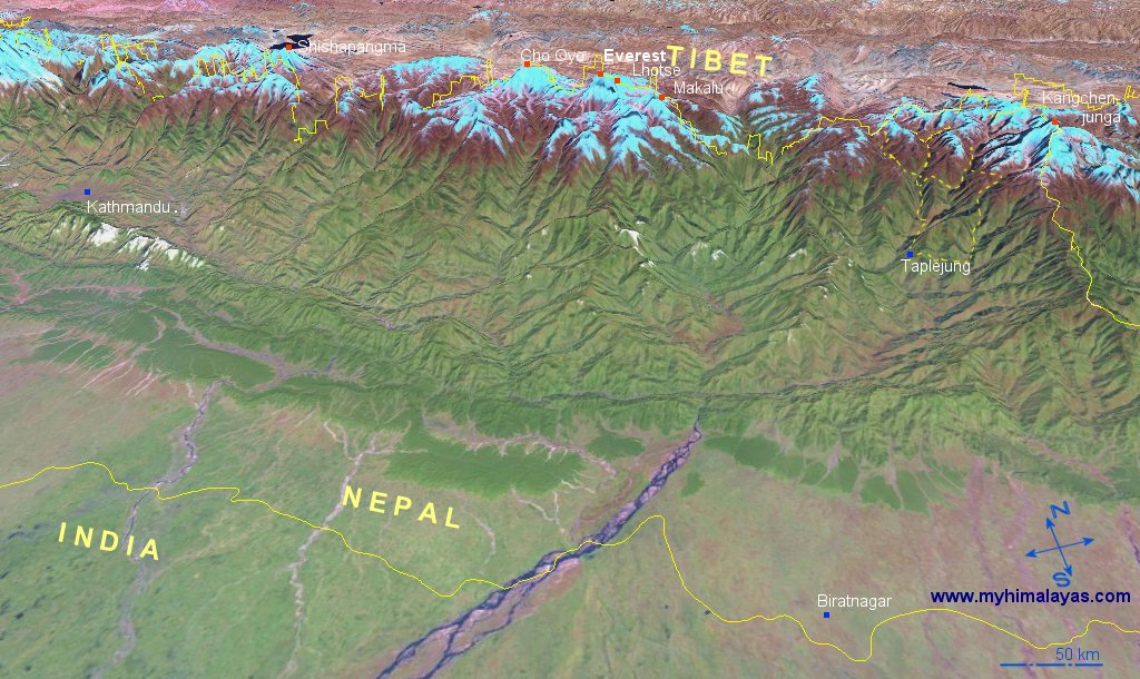
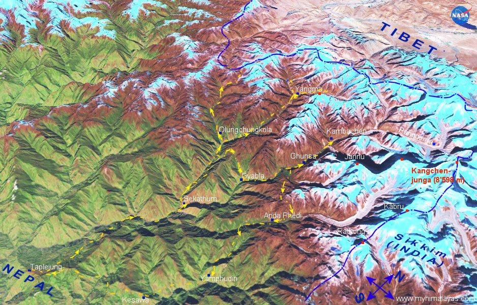
Map Kangchenjunga and East Nepal online, 3D.
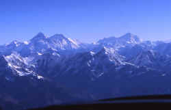
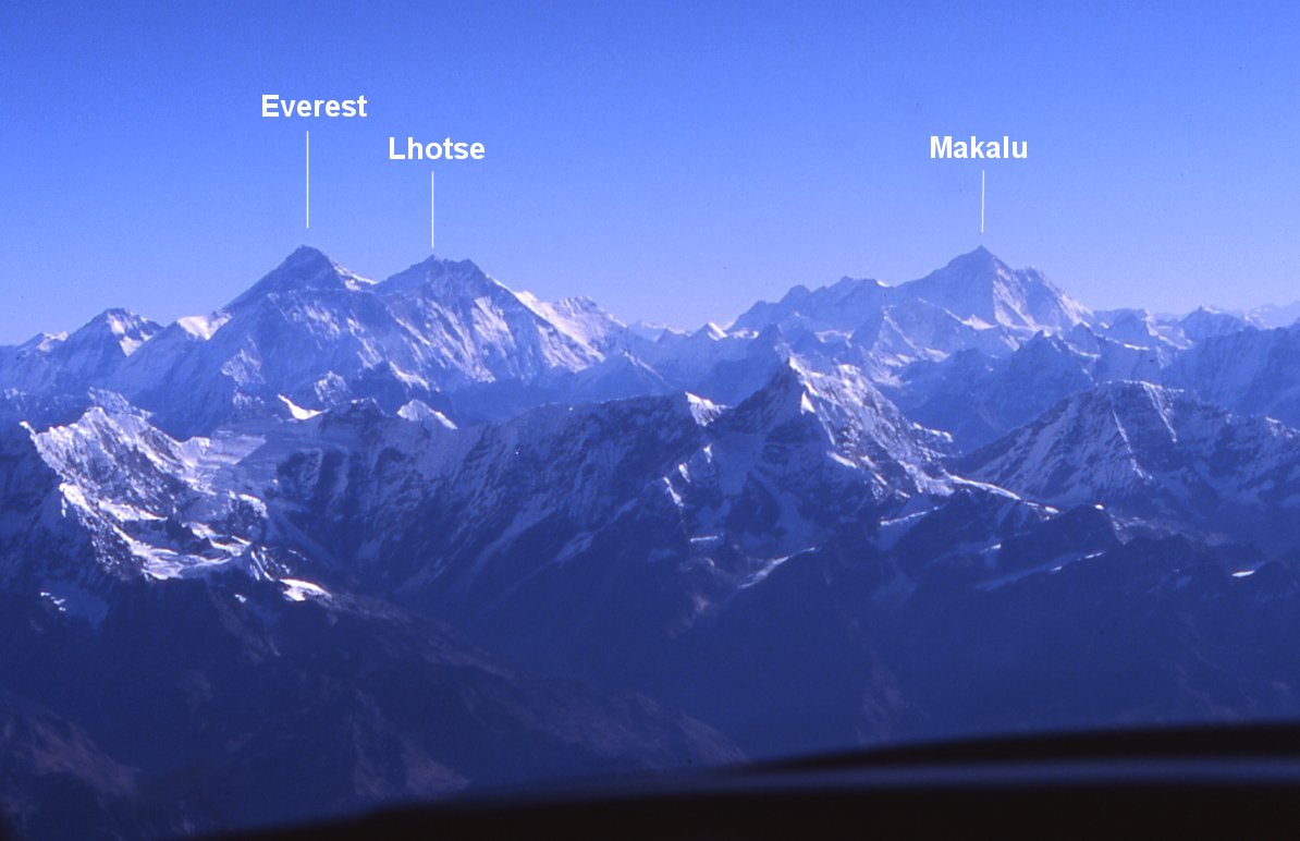
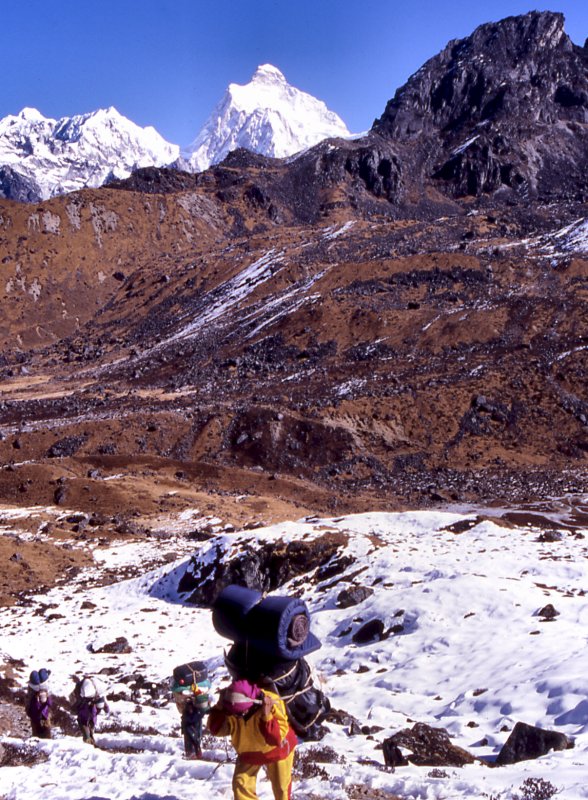
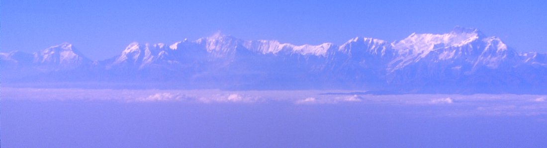
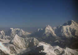
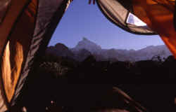
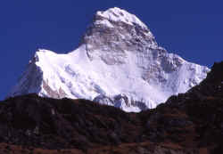
Mountain flight to Everest - an easy way to see Nepal's 8 peaks over 8'000 meter.
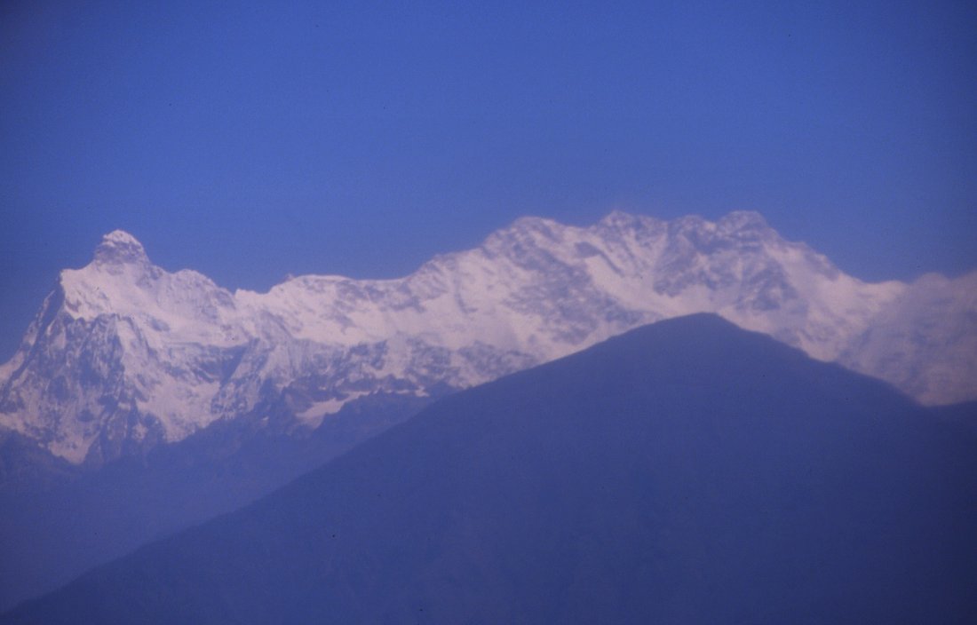
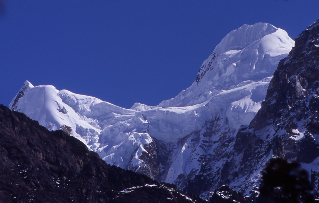
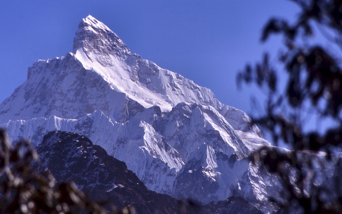
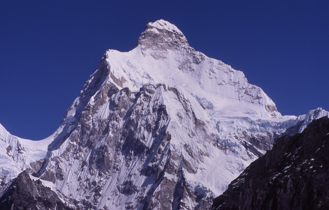
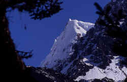
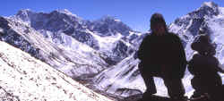
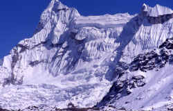
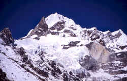
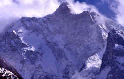
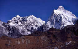
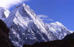
Everest (8'848 m) is the black pyramid on the left. Makalu (8'481 m) is the high
peak on the horizon on the
right. Both peaks tower above countless smaller ones in the Khumbu region. Ama
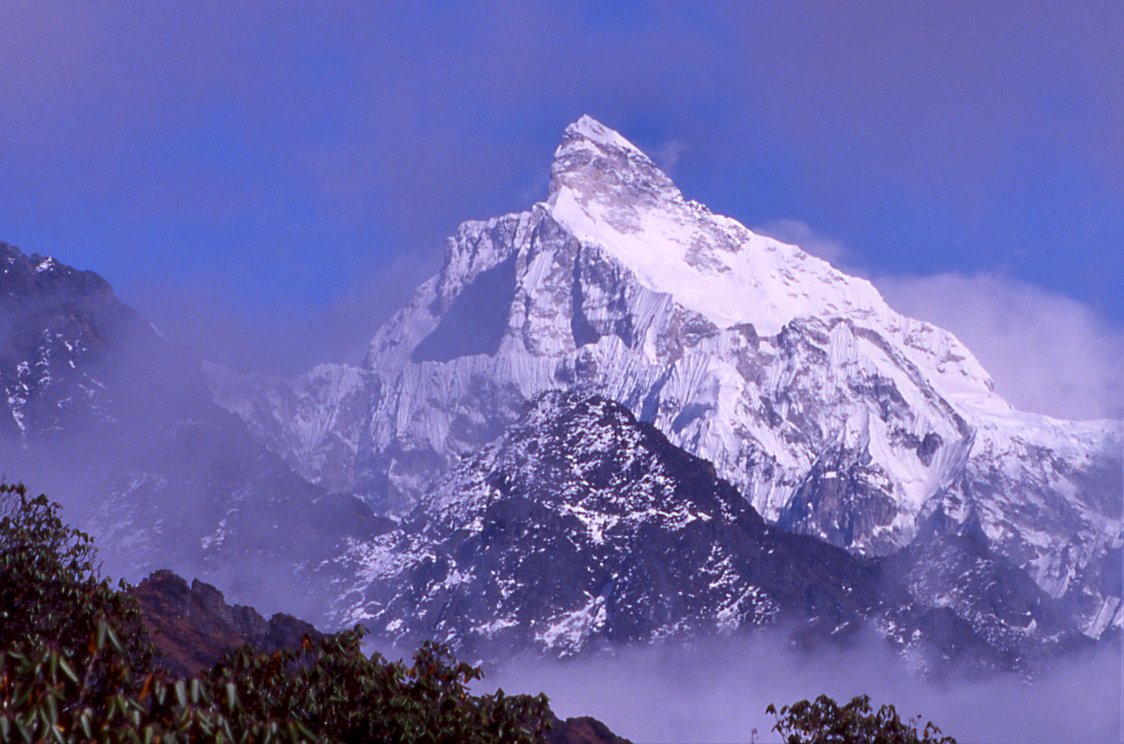
Damblam for example is just below Makalu.
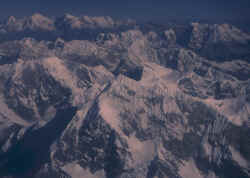
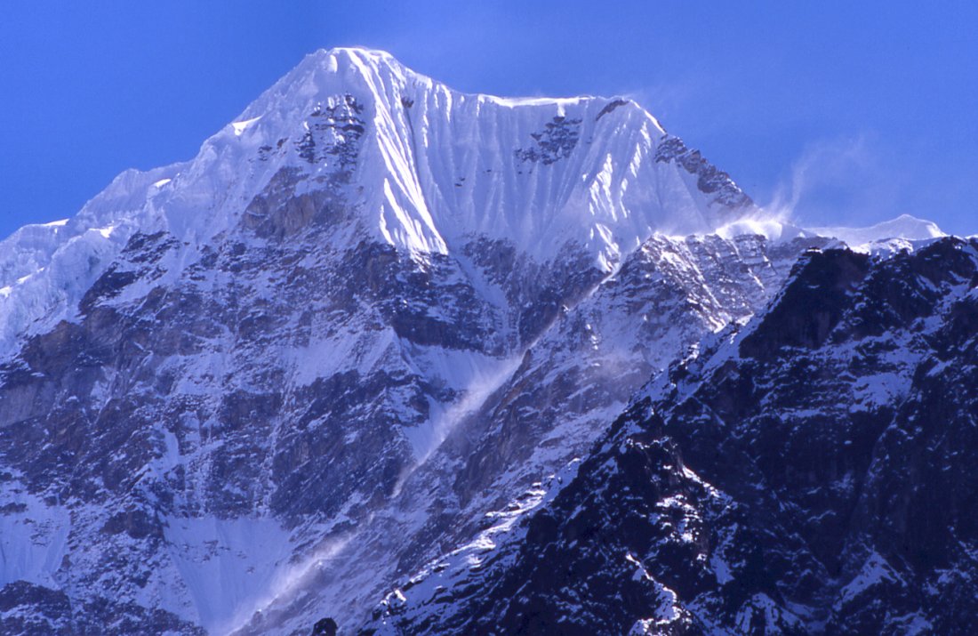
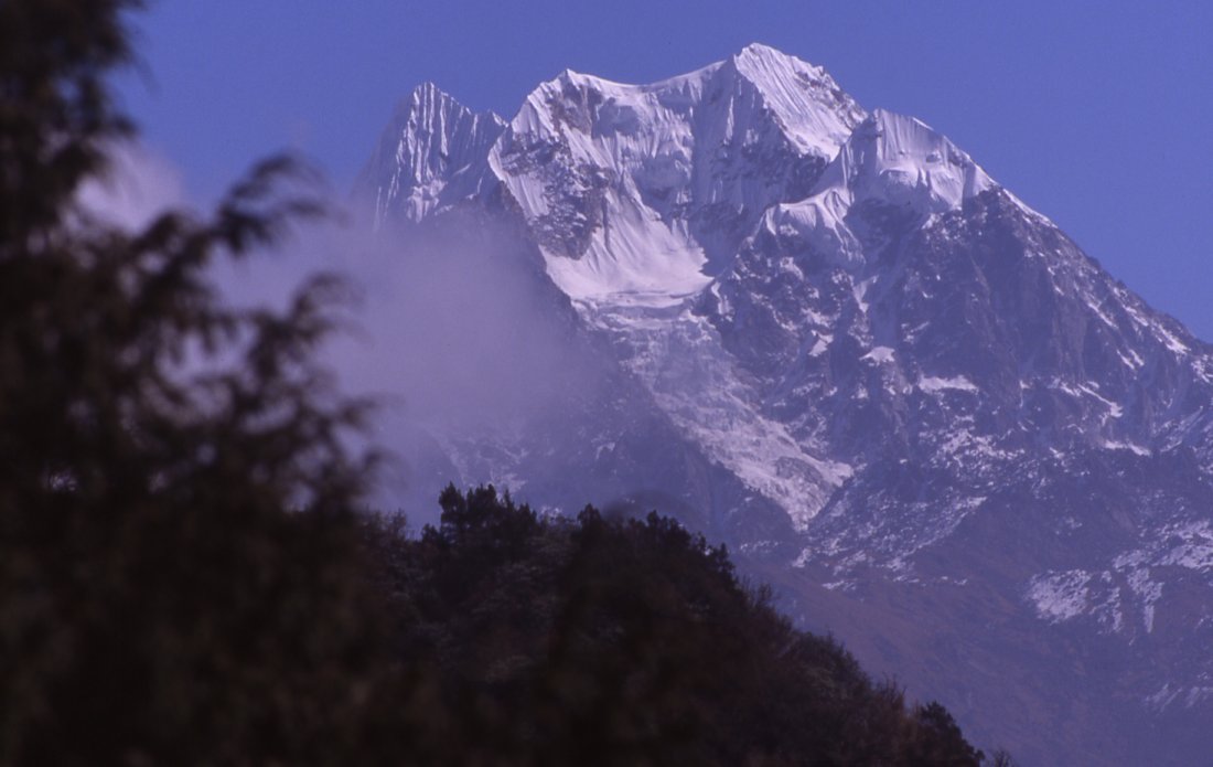
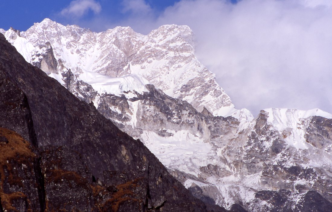
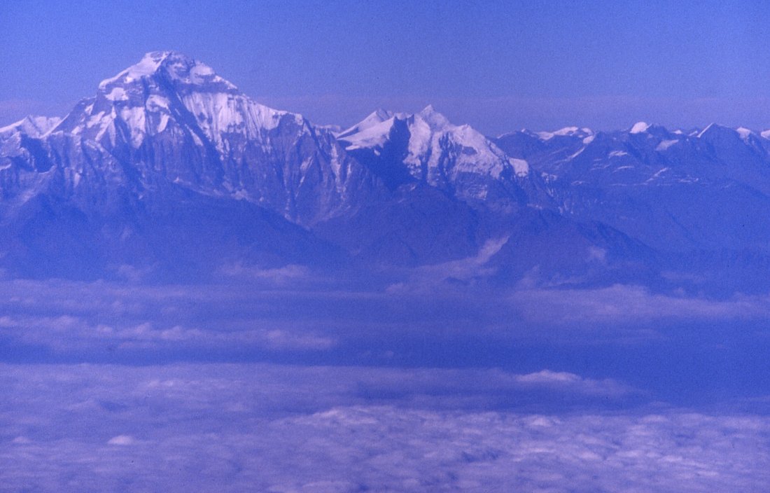
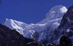
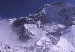
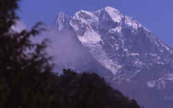
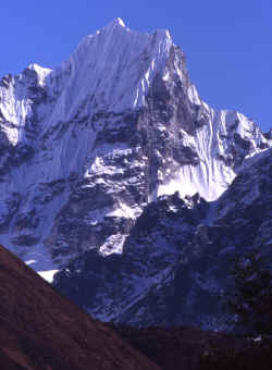
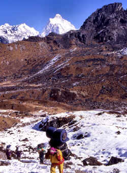
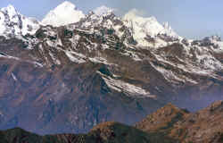
Peaks on the way to Everest.
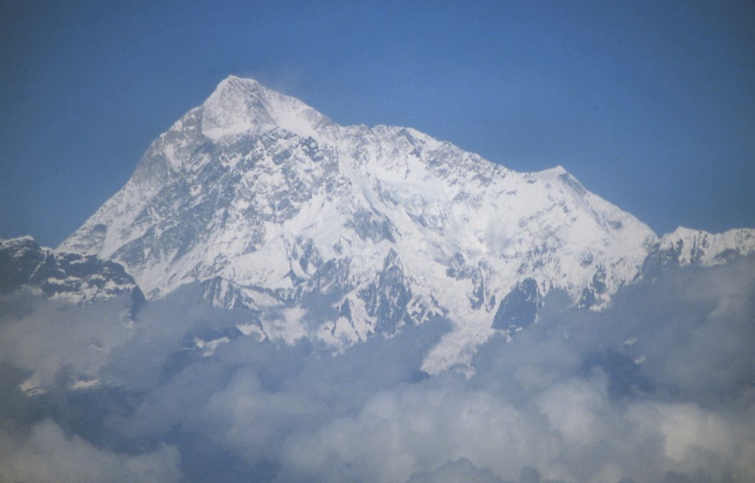
Cho Oyo (8'201), one of the technically easier summits on the
border between Nepal and Tibet.
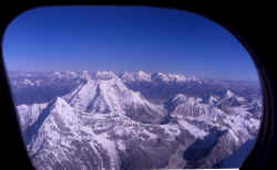
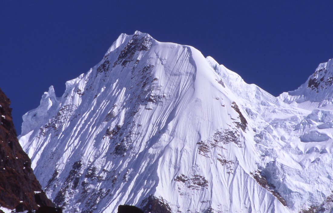
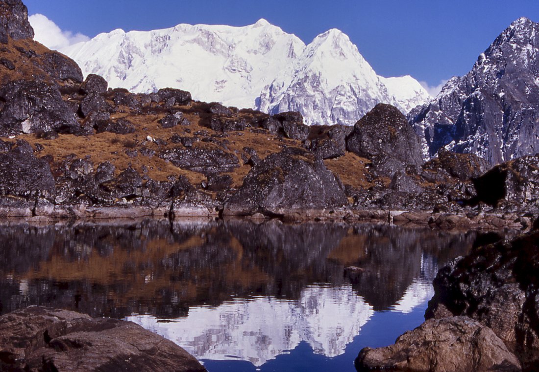
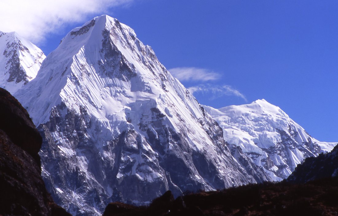
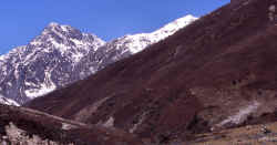
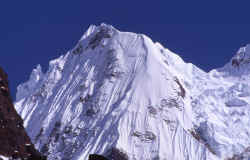
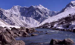
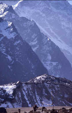
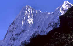
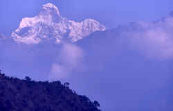
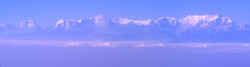
Peaks of the Himalayas.
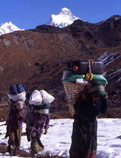
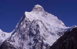
Start of our trek with a charter flight directly from Kathmandu to Suketar -
passing all the major on the way. Here is Makalu, fifth-highest peak on earth.
The Kangchenjunga range starts with Jannu on its western end and features 4
"summits" all higher than 8'000 meters.

Kangchenjunga map online, 3D with our route.

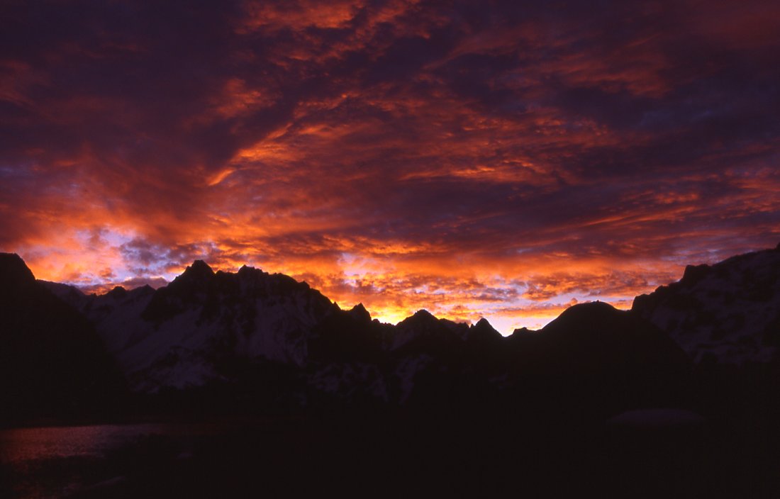
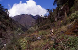
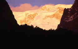
Late afternoon atmosphere in the low valley on the first day of walking, the sun
brilliantly increases the colours.
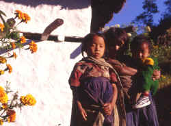
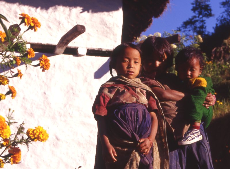
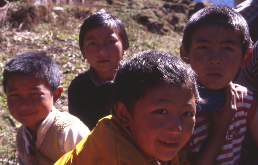
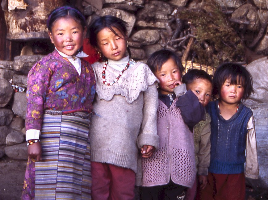
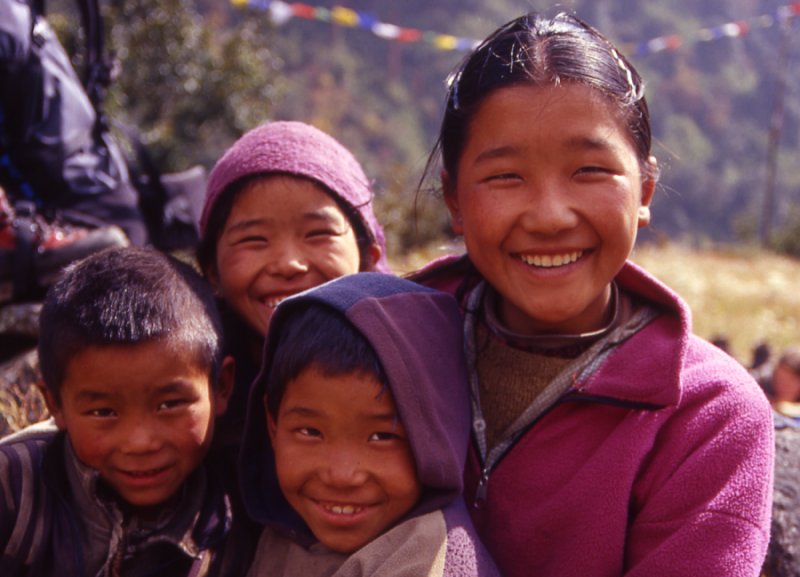
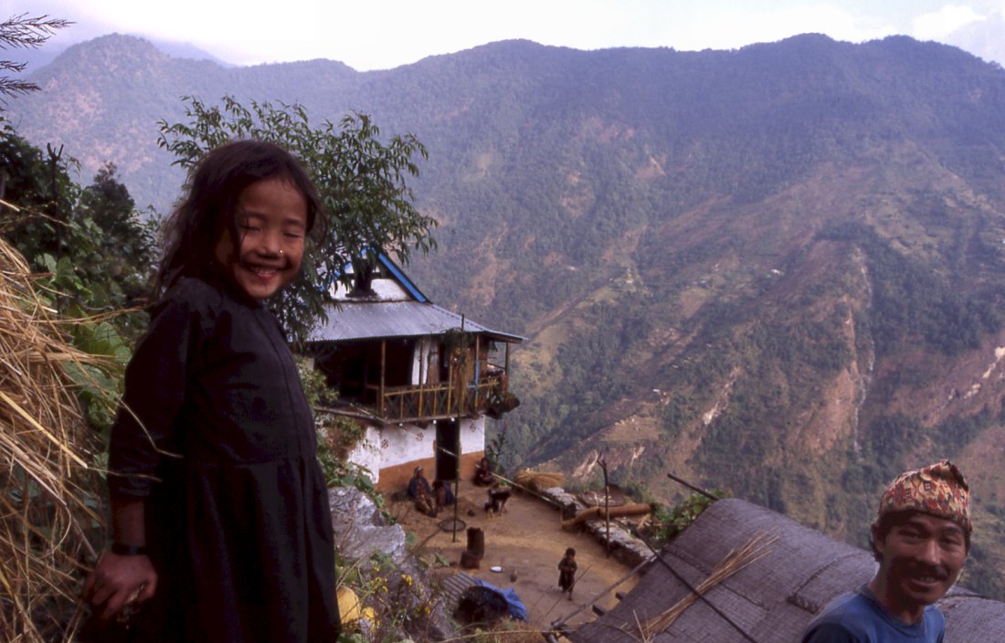
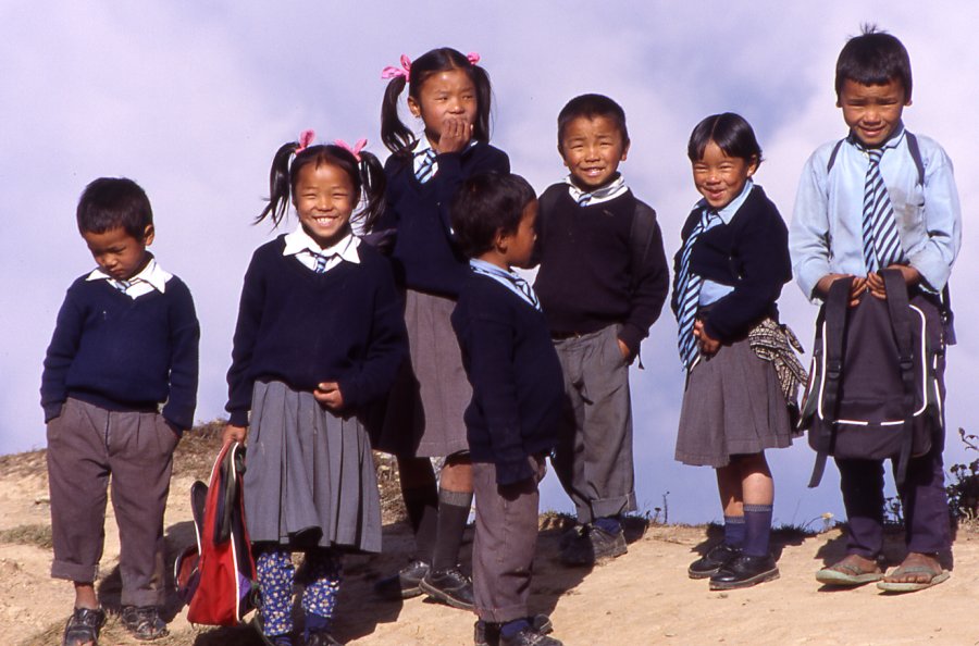
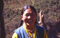
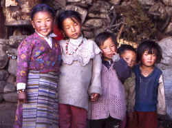
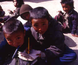
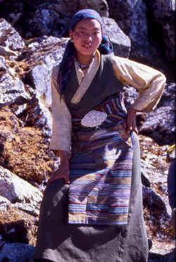
After getting back from school. kids get out of their school uniforms and
play or work around the houses.
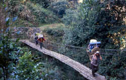
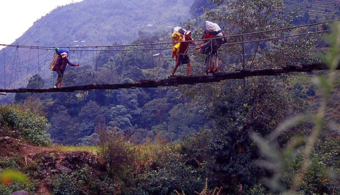
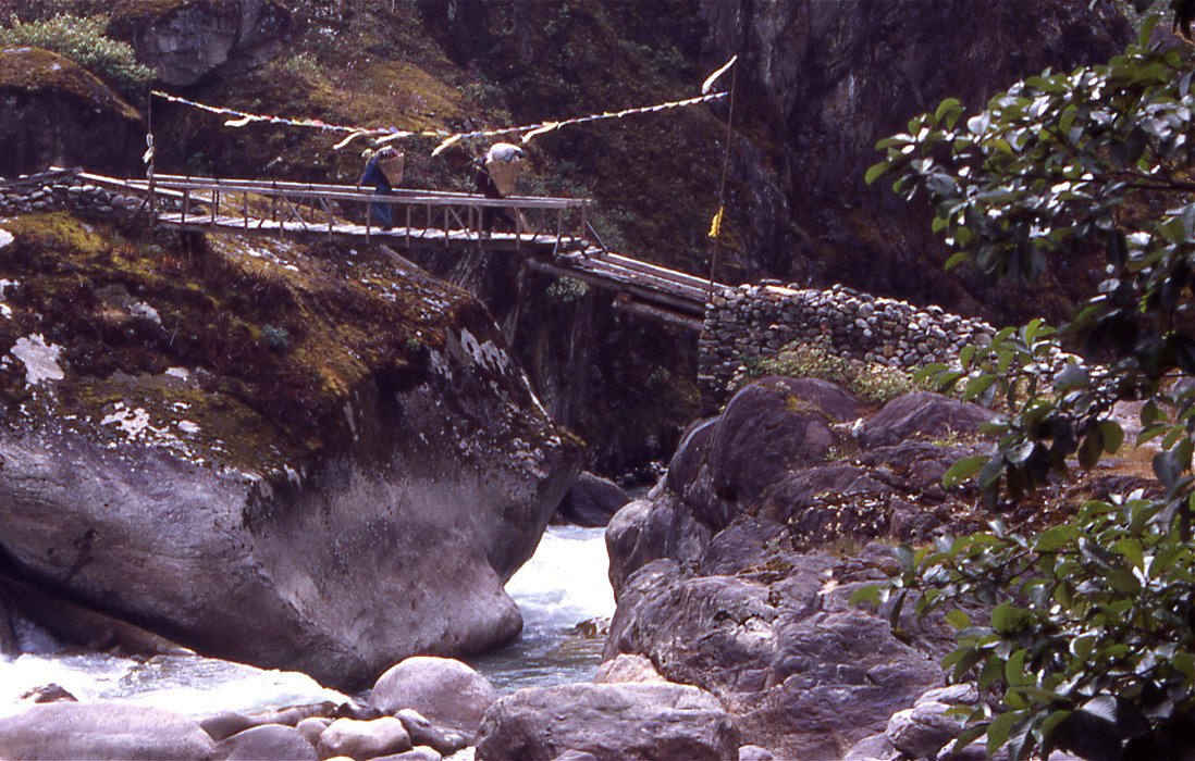
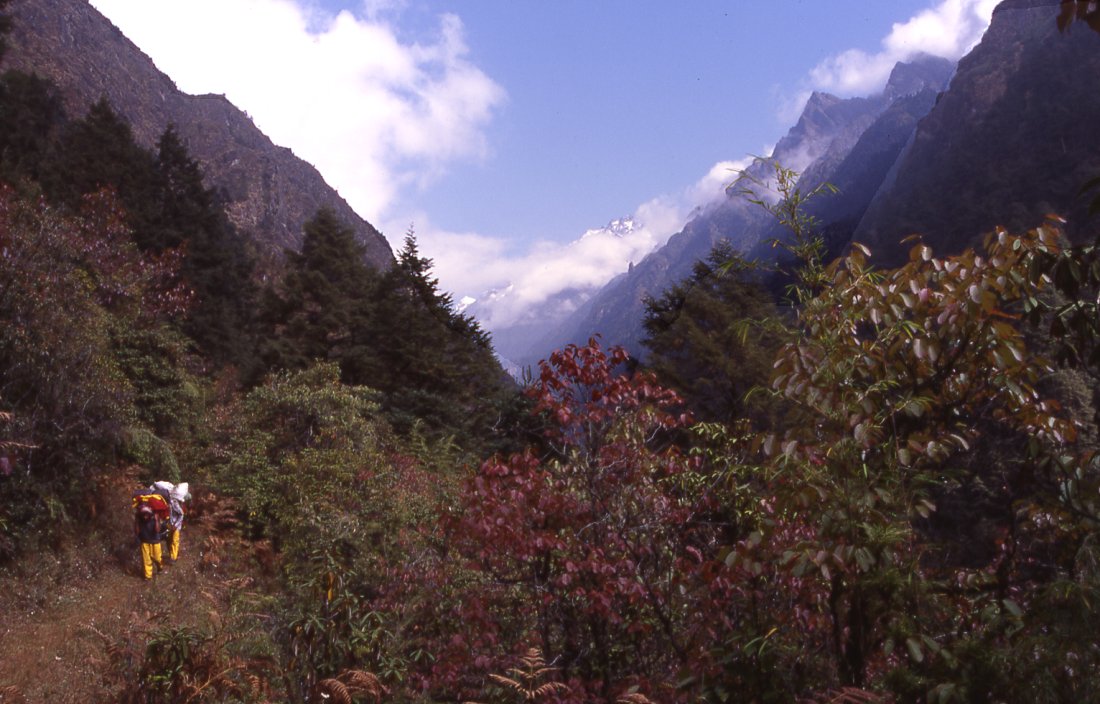
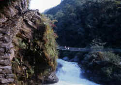
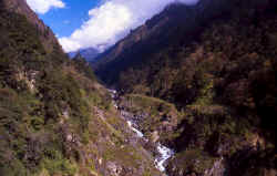
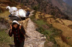
Many bridges cross the little sidevalleys in dense forests.
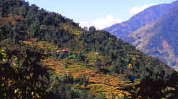
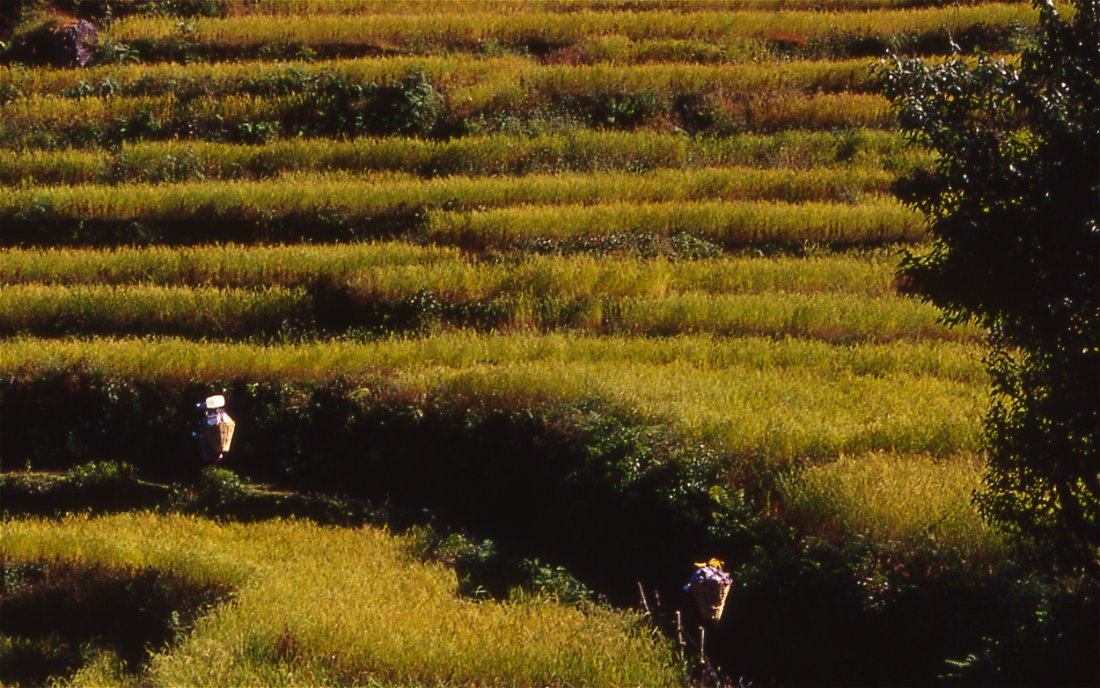
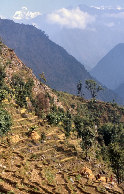
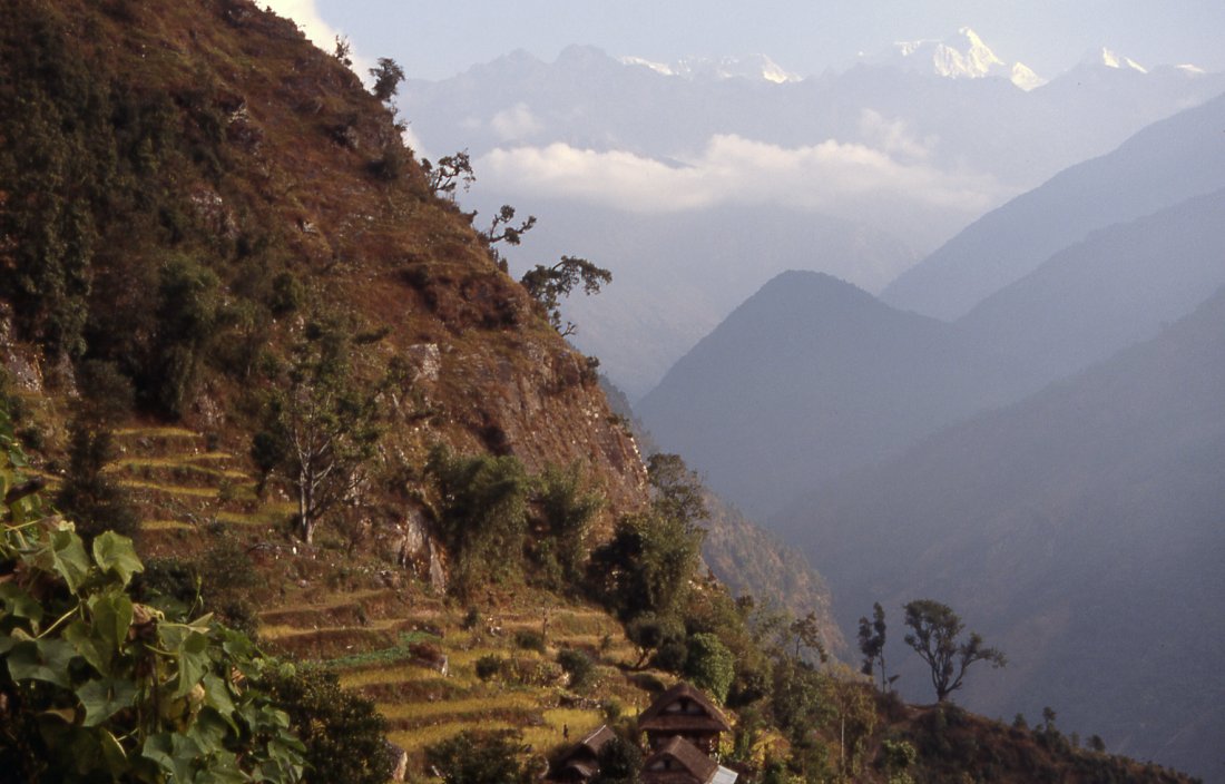
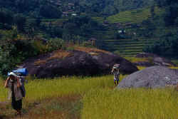
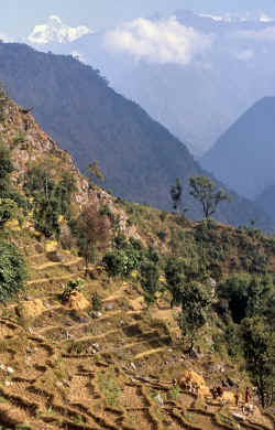
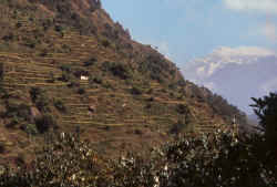
Terraces cover the hillsides along the Tamr river.
Rice is the staple diet in the lowland, higher up it is
considered a luxury because it grows only to 2'500 meters.
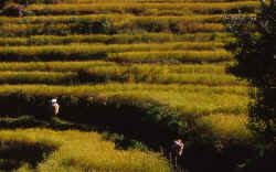
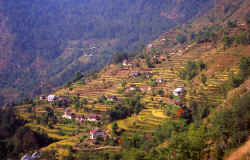
Green rice terraces are another highlight of trekking in
the lower valleys.
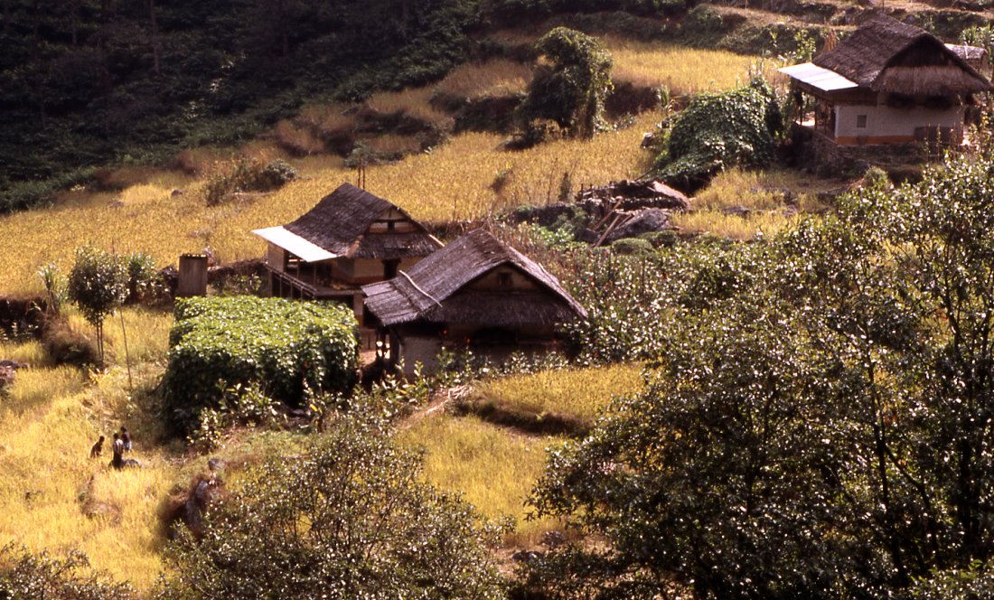
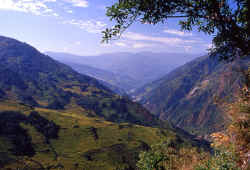
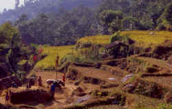
The few flat spots in the valley are covered by rice, the
houses are built on the hillsides.
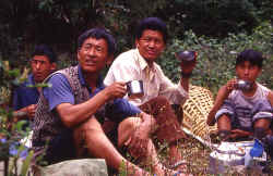
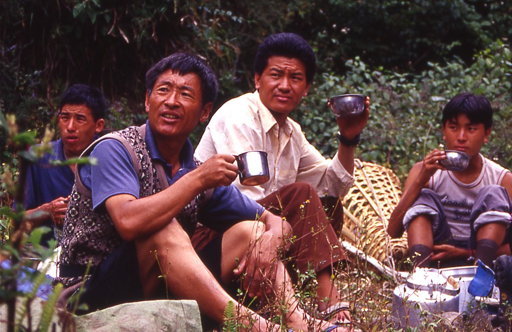
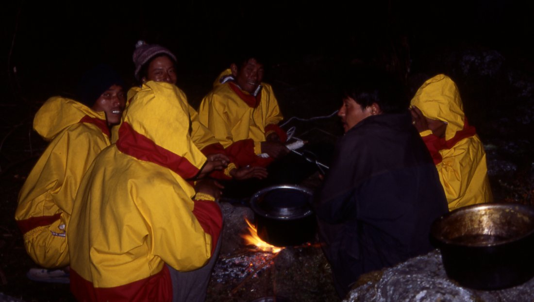
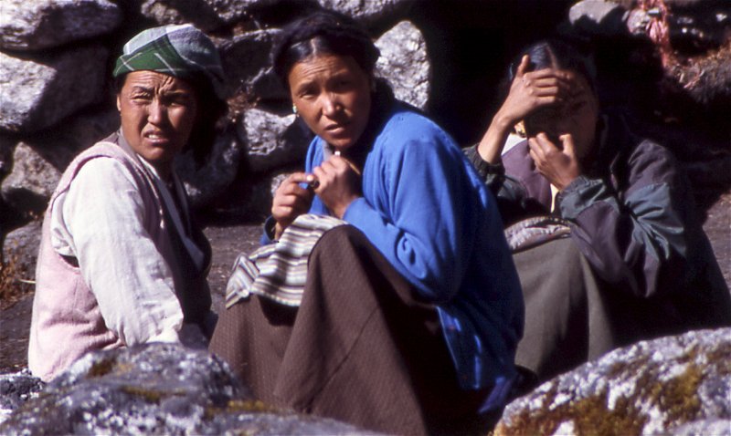
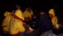
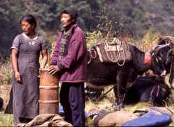
Kitchen crew and guides relax for a minute before starting
to prepare lunch.
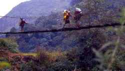
One of the less stable bridges over a small creek, in
summer monsoon the brides are vital for locals to get around.
|
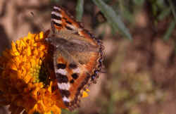
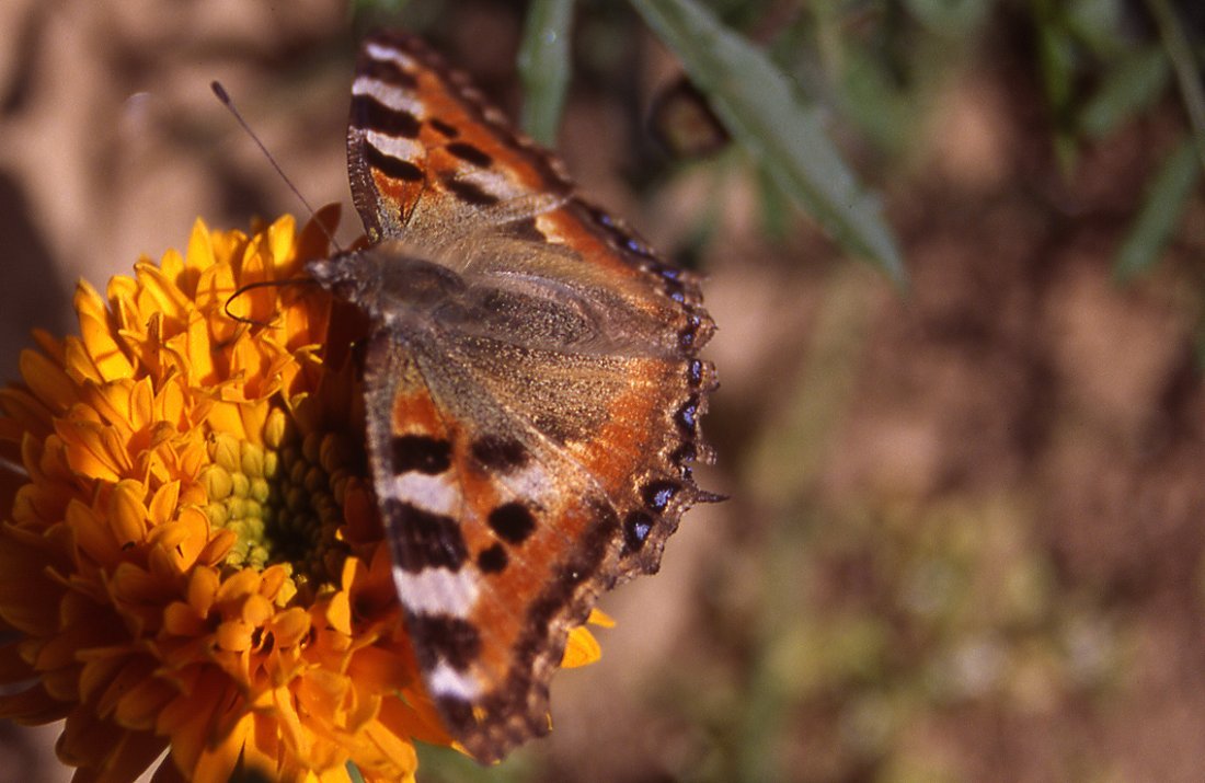
In the lowland the variety of butterflies and their colour
increases quickly.
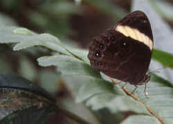
The higher we get the smaller and less colourful are the
butterflies.

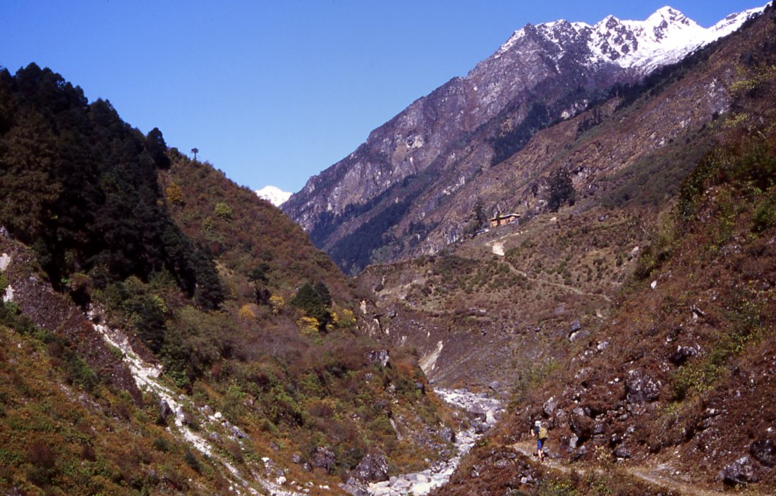
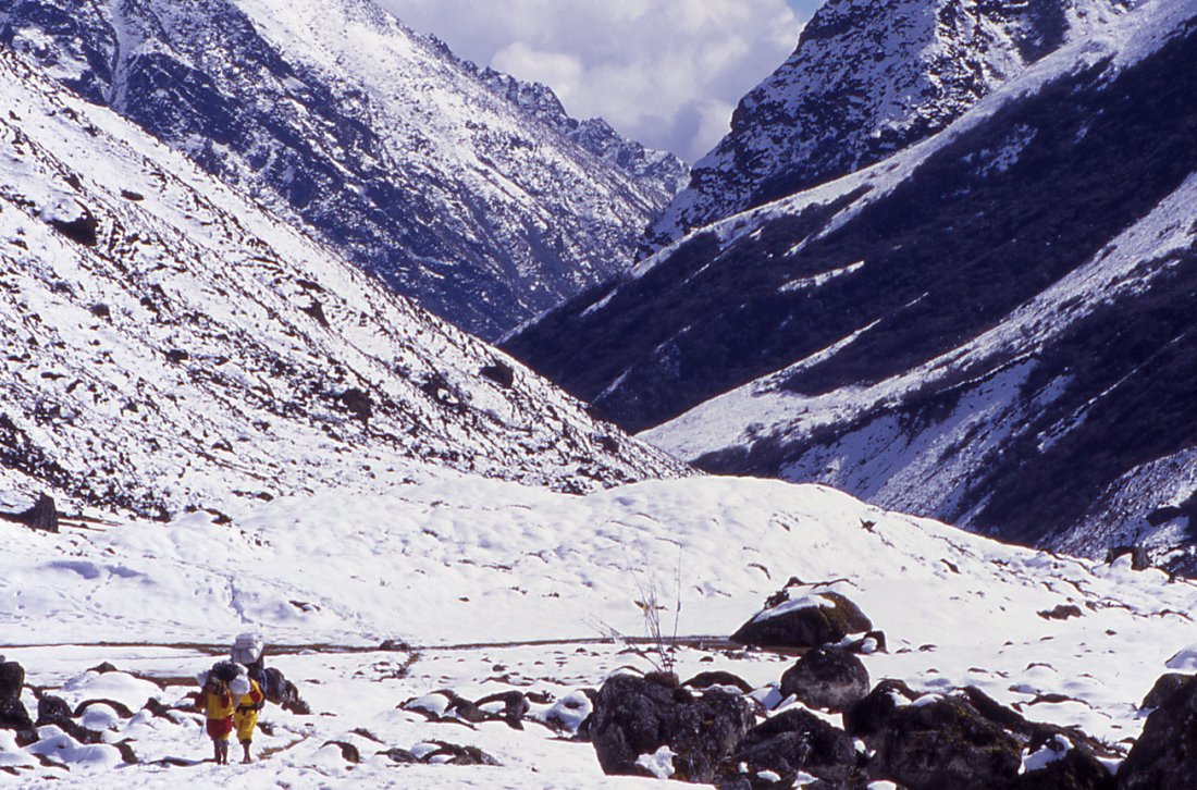
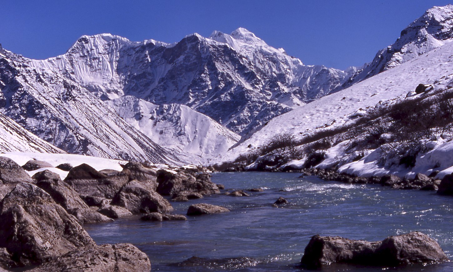
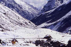
North of Sekathum the valleys are not inhabited and often it's hard to find enough
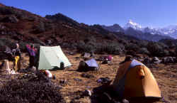
space for a campsite.
Vertical walls define the Tamur valley, often the trail climbs high above
the torrent.
Up to 3'000 meters the forest is very diverse, autumn
colours of the bushes increase the number of colours.
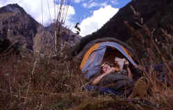
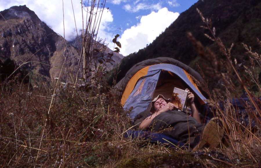
Relaxing afternoons after a hard trek in the morning.
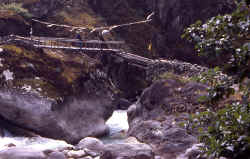
Porters cross the bridge on the way to Olungchungkola.

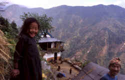
Way to Olungchungkola, the monastery is already visible from far away.
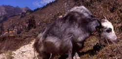
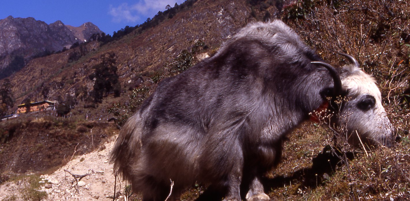
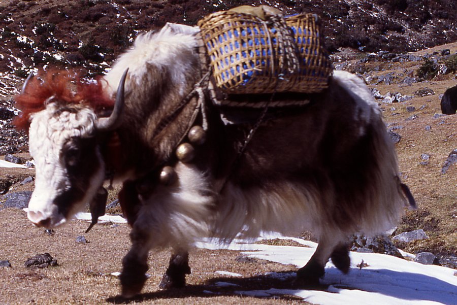
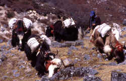
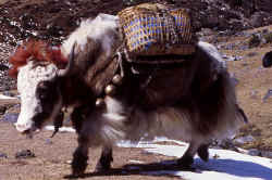
Yaks roam around the village, the people are rightfully proud of these
amazing animals.

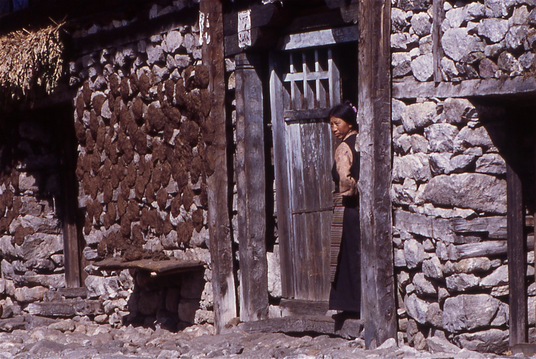
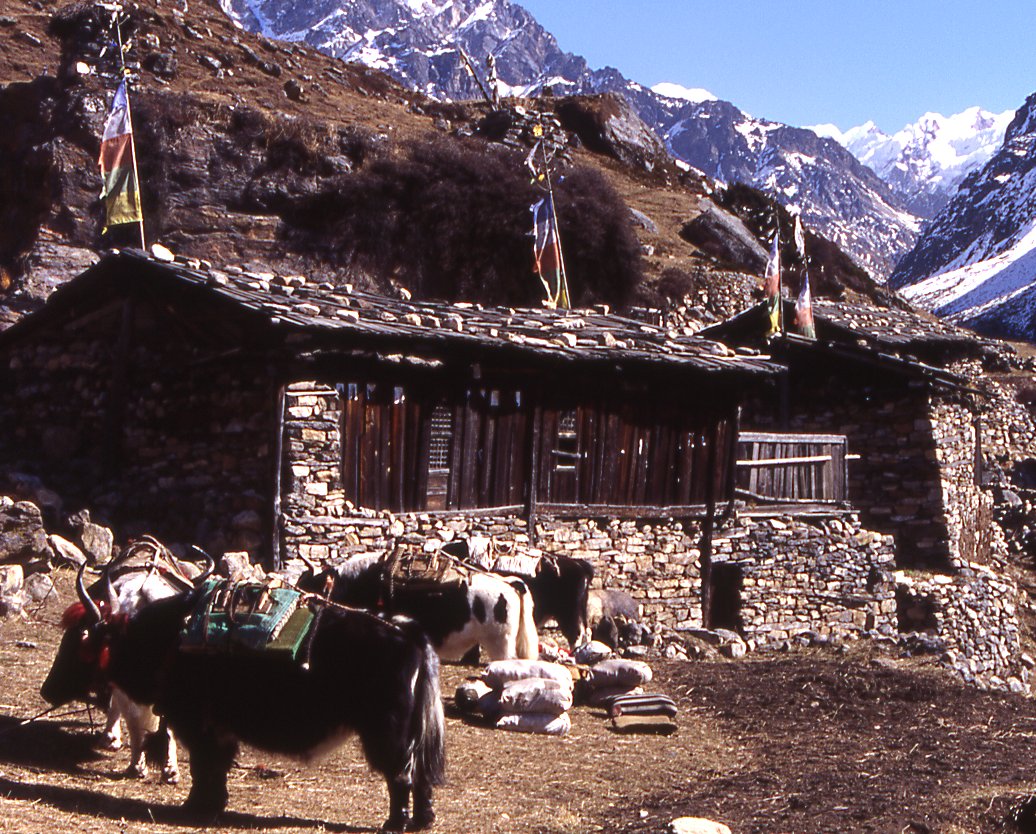
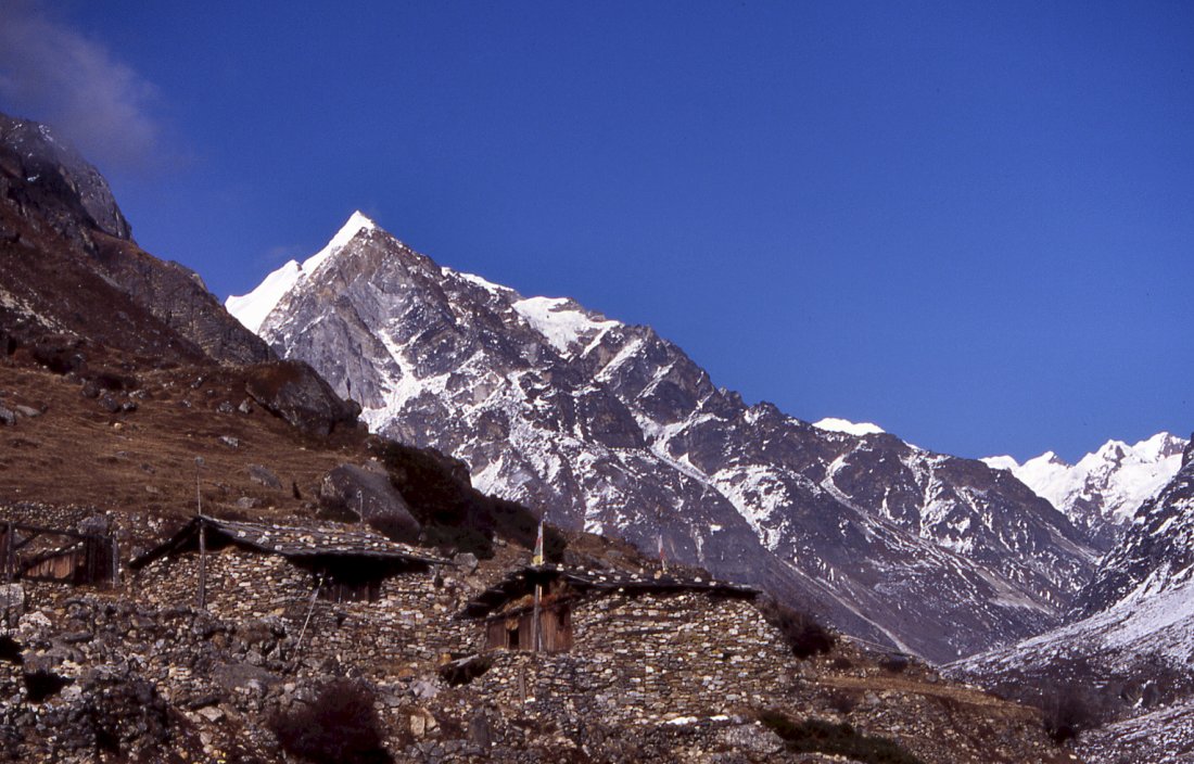
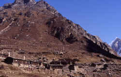
The wooden houses of Olung spread on a little plateau. The village is
wealthy, despite severed ties to its Tibetan neighbours and the reduced trading
activities.

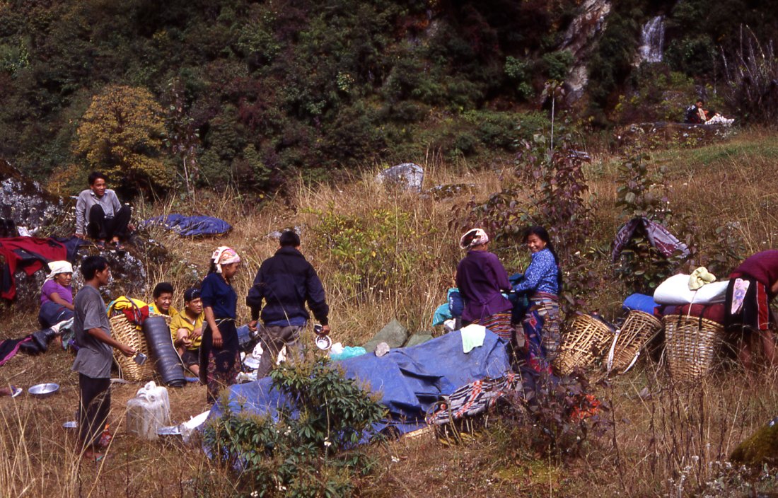
Porters arriving at camp, dropping their loads and starting
the joking and teasing.
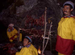
Porters have bought a sheep and prepare their bbq.
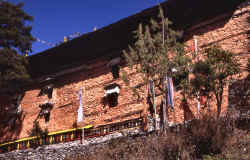
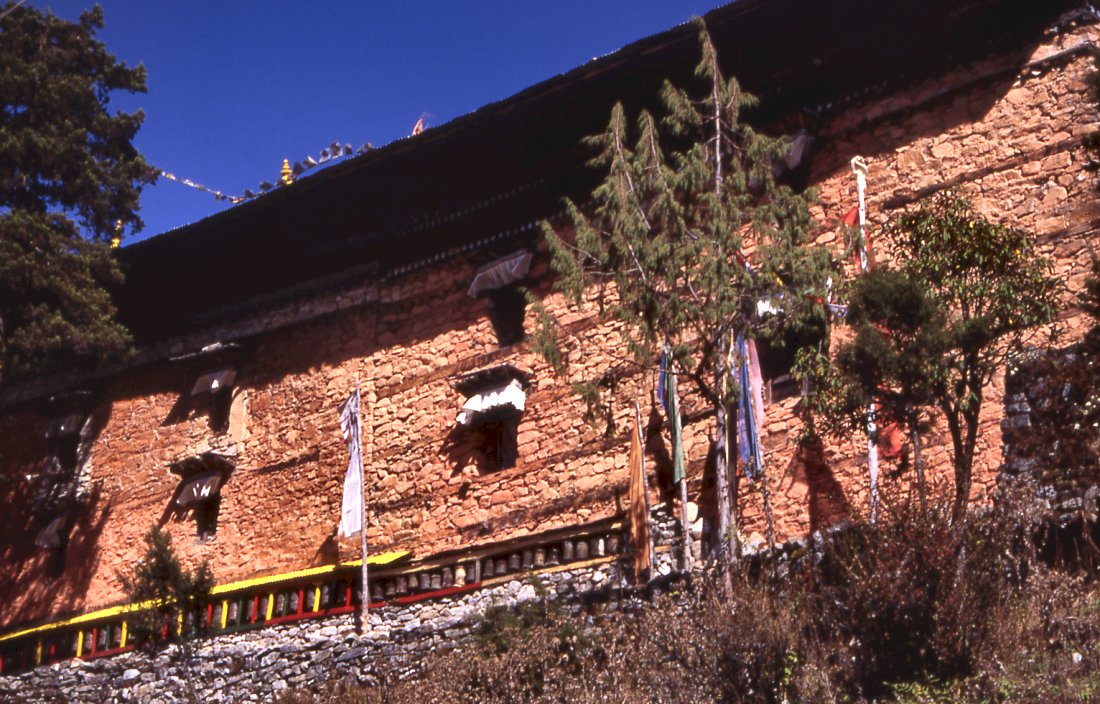
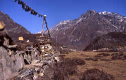
The monastery is one of the oldest in Nepal, and though much its treasures
were brought to Kathmandu, there are ample statues and thankgas left to wonder
at.

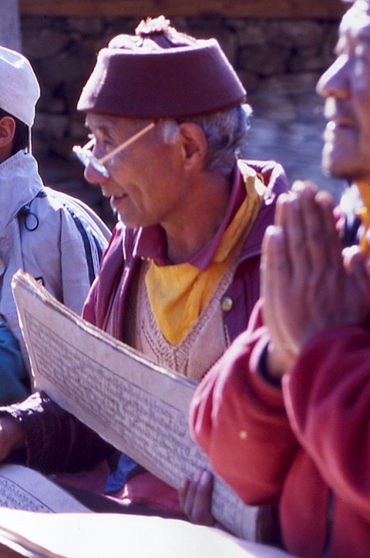
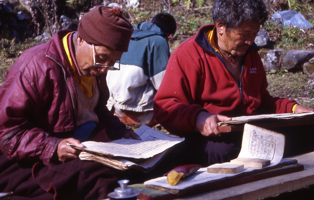
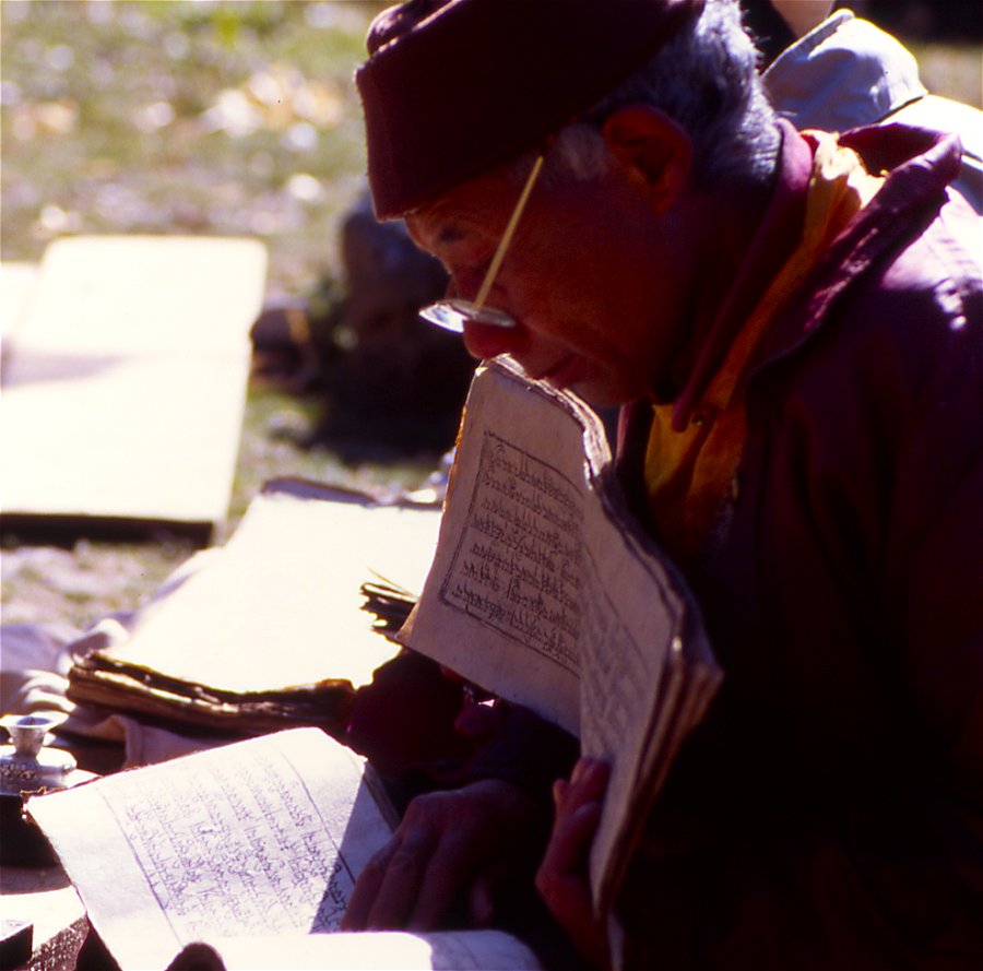
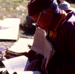
Only five monks live in the monastery, every afternoon they hold a ceremony.
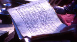
Old books contain the holy scripts, however the old monks know most of the
prayers by heart.

|
The wealth shows in the construction of houses,

Kids enjoy a day without school.
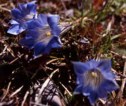
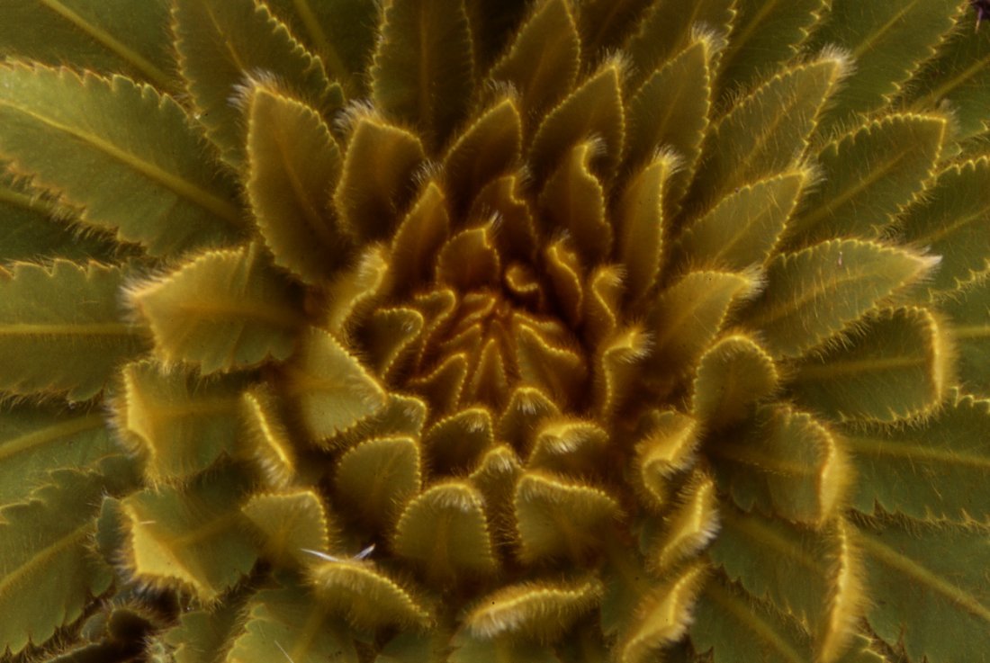
Gentians peak out between patches of snow.
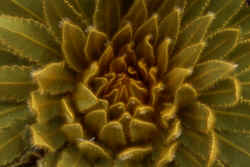
Large plants protect themselves against the cold with hairy leaves (Meconopsis paniculata).
The vegetation changes on the way from Olung to Mauwa.
Yaks carrying goods from the pastures down to
Olungchungkola, unnamed 5'000 m in the background.
Caravan brings goods from higher up to the village.
The lead yak is decorated with pieces of cloth and bells.
A day above the village snow has fallen and covers the pastures.

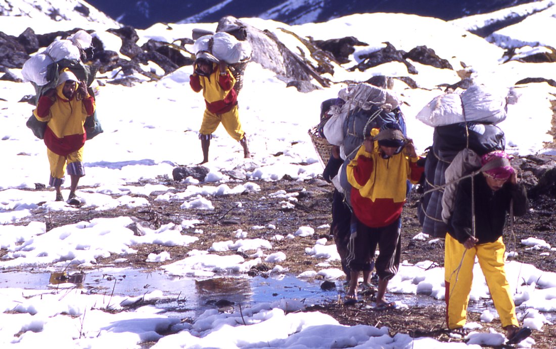
Desite being given shoes, the porters still walk in their slippers.
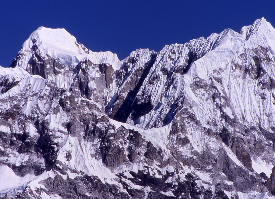
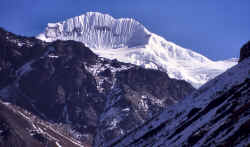
Ghanglung peak, not even 6'000 meters high but very
impressive with the glaciers that seem to flow from its summit. This sidevalley
takes us to Tipta La, we're the first foreigners since 1840 when Sir Joseph
Hooker climbed the passed on his journey through the eastern Himalayas.
View from Tipta La pass back towards Nepal.
View from Tipta La to Tibet, the road is just a day away and people bring modern goods into Nepal.
After a long way up to the pass the descent to camp takes
hours in foggy weather.
Strenuous way down to camp.
|
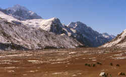
At first the Yangma valley is narrow and densely covered by forest,
higher up it will flatten and be barren.
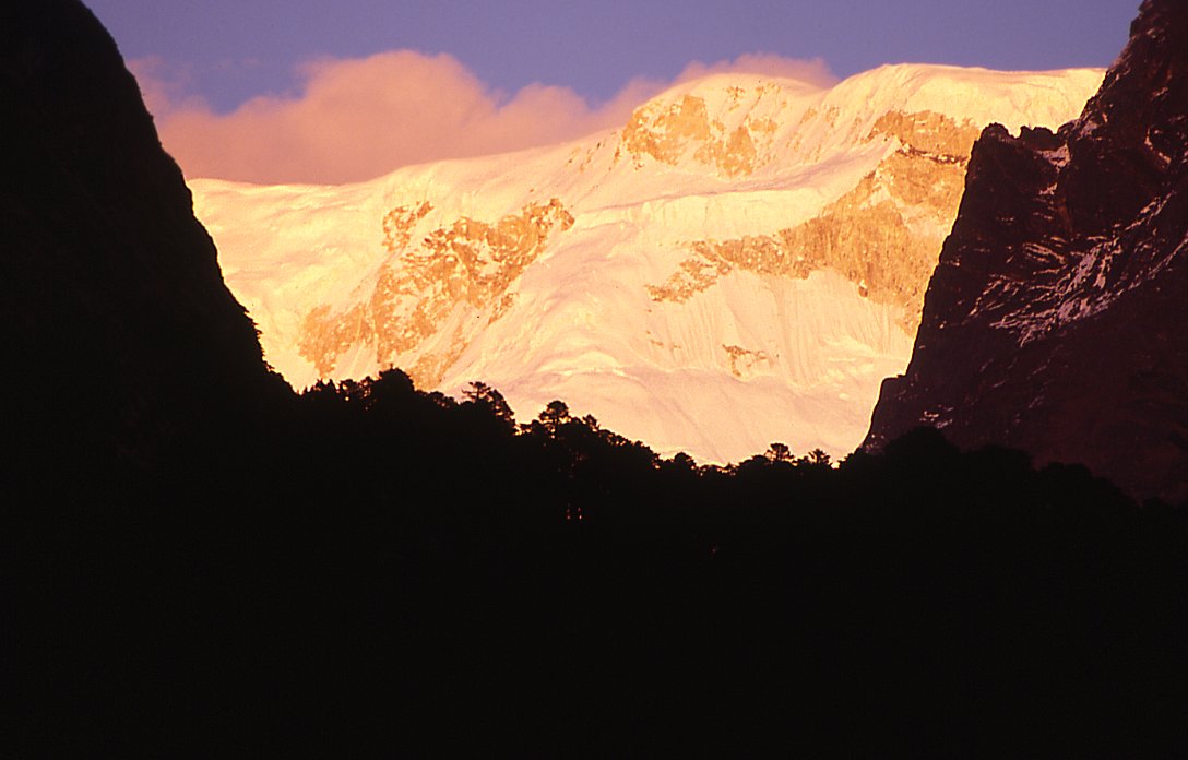
The white of the mountains
literally shines out between the dark pretty fir trees.
Sarphu is not very high, but the bizarre snow figures turn it
into an outstanding mountain range.

Strong winds higher up.
Higher up in the valley, the mountains to the east become more
numerous and more elegant - sun, wind and snow have created pieces of art.
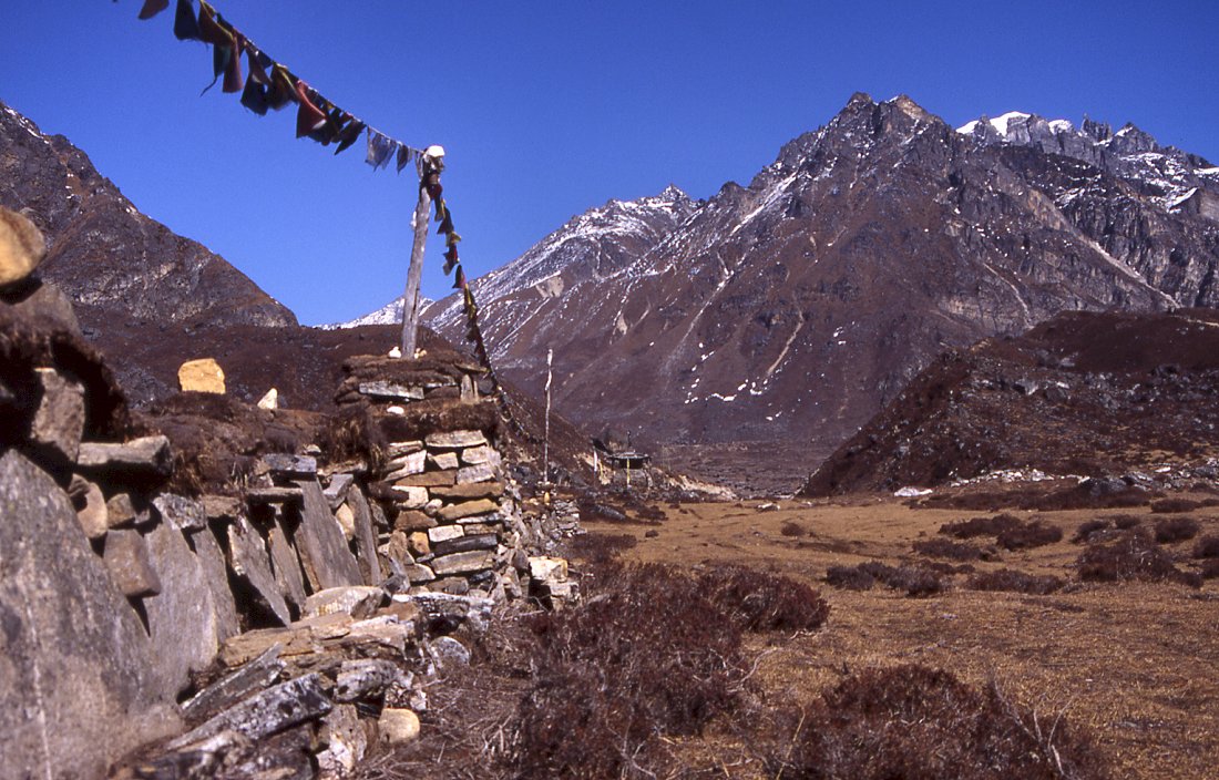
A long mani wall announces the village of Yangma.
After passing the Mani wall in the flat glacial valley it
is just another hour to the village at the end of the valley.

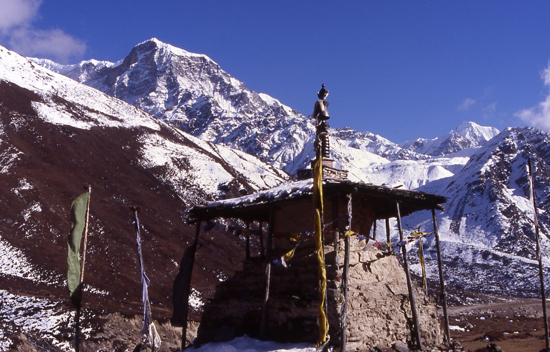
Chorten ahead of Yangma.
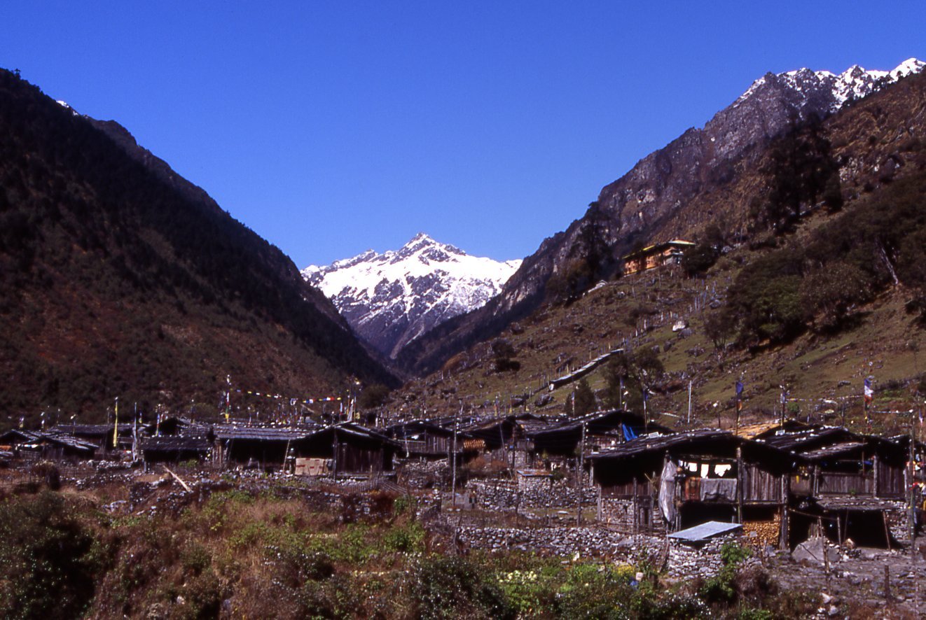
The houses of Yangma are built on the amphiteatrical slope above the glacial
plain. A monastery overlooks the village.
We set up camp below the village on the glacial plain - a perfect site to camp and
watch the yak caravans on their way to the village.

Yaks are the only form of transportation and used for
trading or carrying firewood.
Peaks surround the village and form the border to Tibet.
Monastery of Yangma
Since there is no school in Yangma, well, no schoolteacher to be precise,
the kids either go to Pholey for education or stay here for minor work.
Sunrise on the Nubuk peak in the north.
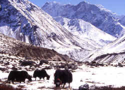
Yaks grazing on the pastures above Yangma.
View of Nupchu from a little hill high above Yangma.
From the glacial lake I follow the creek down back to the
village.
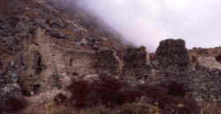
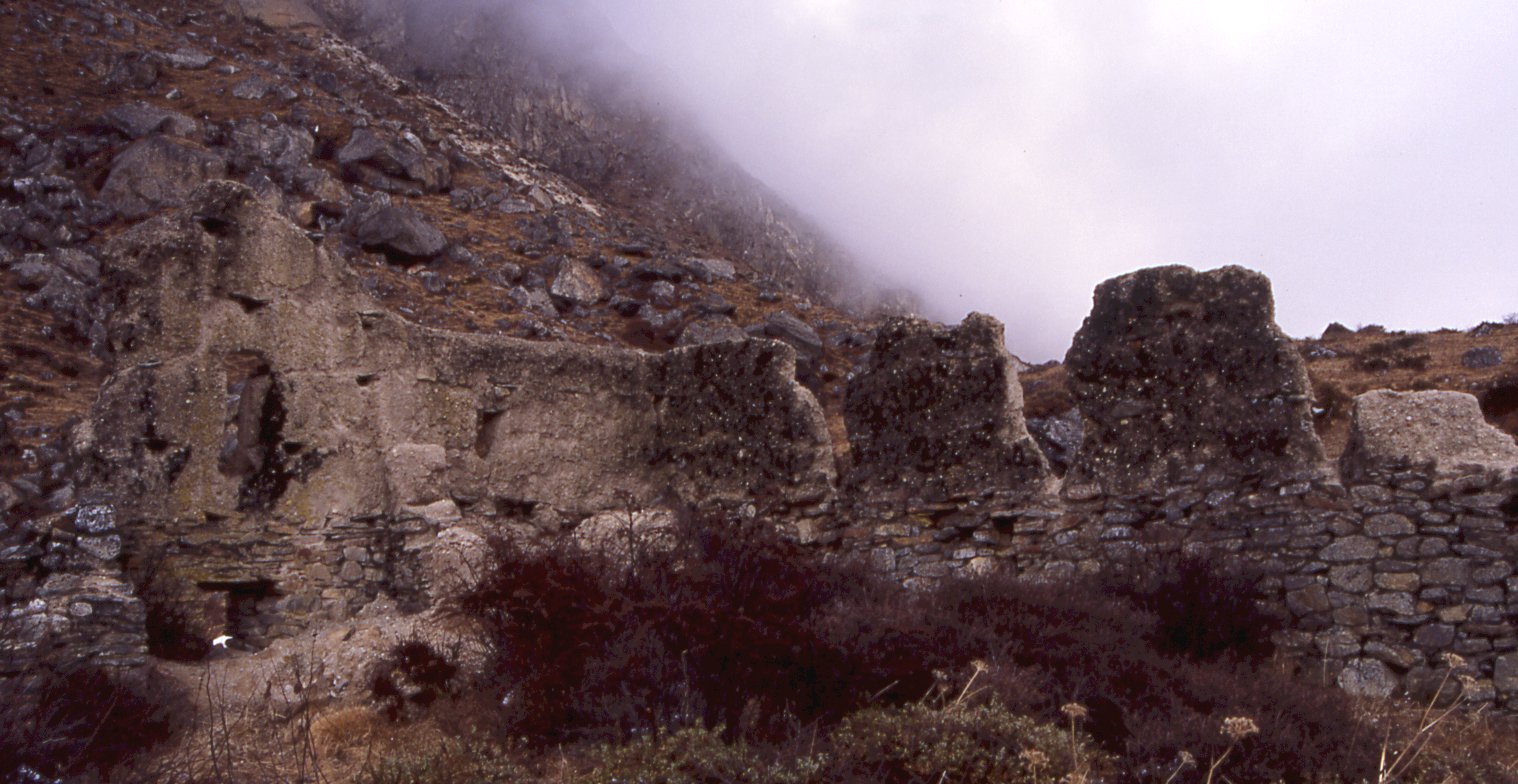
Ruins of a fort or monastery east of the village.
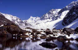
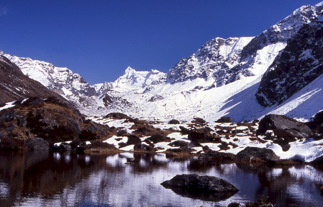
Small lake on the way to Omni Kang Ri.
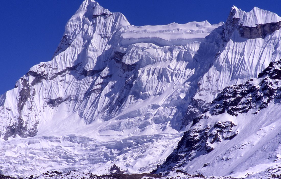
The most stunning peak in the area - Dangpo peak with its
delicate flutes is connected to another peak by a long horizontal ridge.
Nupchu peak
|
The Sarphu range forms the steep separation to the
Kambachen valley where we're heading for.
Omni Kang Ri?

On the way back from Yangma and looking for a low
snow-free pass to cross into the other sidevalley.
Locals from Olungchung pack up their butter churn after
lunch to climb the steep flank towards the Gyabla pass.

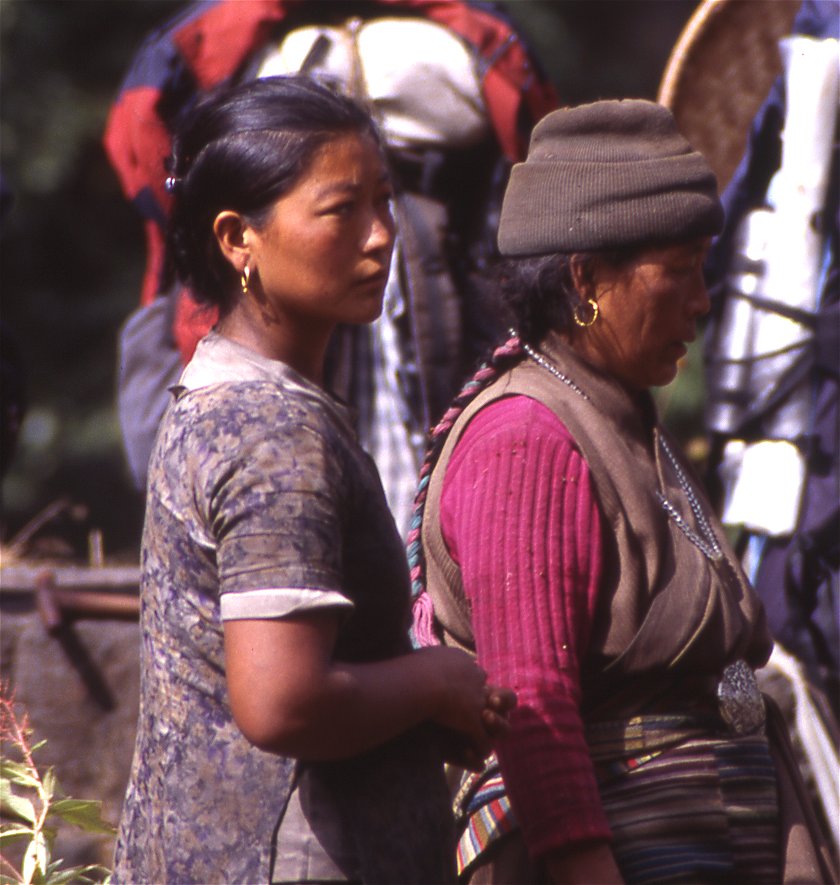
The old woman - leader of the caravan - and her daughter.
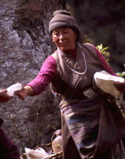
Fresh Tibetan cheese - comparable to mozarella - makes a
nice difference to the regular dish or rice and lentils.
Such a view makes getting up easy - camp on the pass above
Gyable with Jannu in the background.
From the pass the views of Jannu are stunning.
Sunrise over the Sikhali range.
Early morning.

Rhododendrons and Jannu.
From above Gyable we enjoy the views of Jannu's tributaries, the mountain
itself hides behind them.

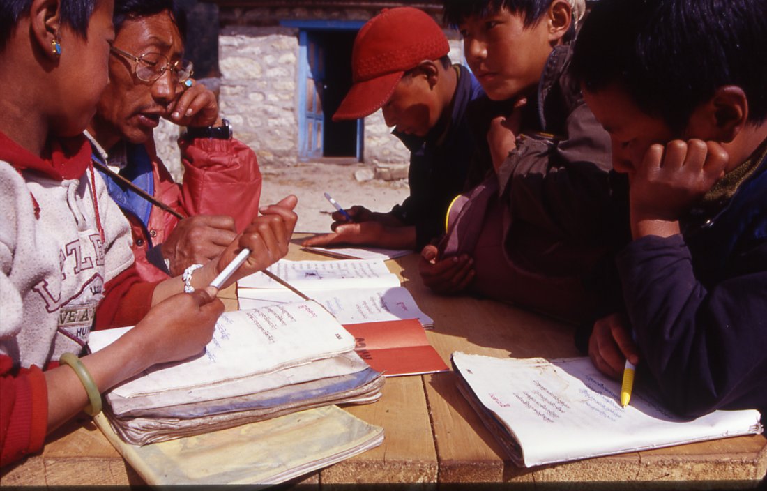
Kids in Gyable.
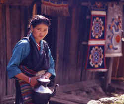
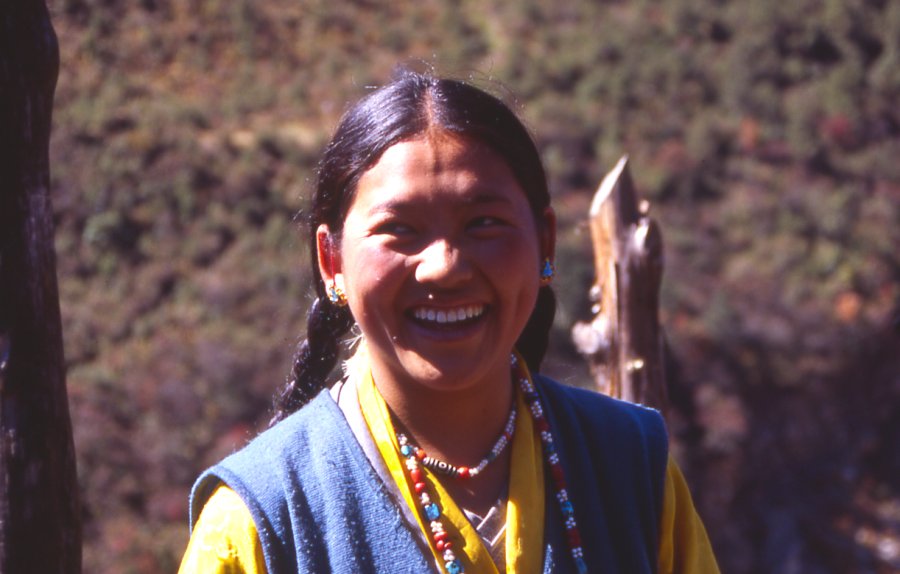
irl in Pholey serving butter tea.
The school in Pholey teaches kids from the entire area.

Schools are rare in the area, and many parents send their
children to the Tibetan school in Pholey.
From the village of Kambachen the valley goes north and takes a sharp turn
towards Kangchenjunga north base camp.
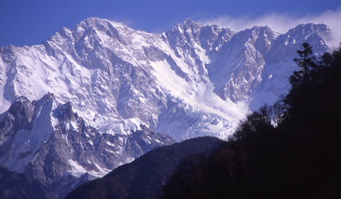
Sarphu from Kambachen.
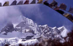
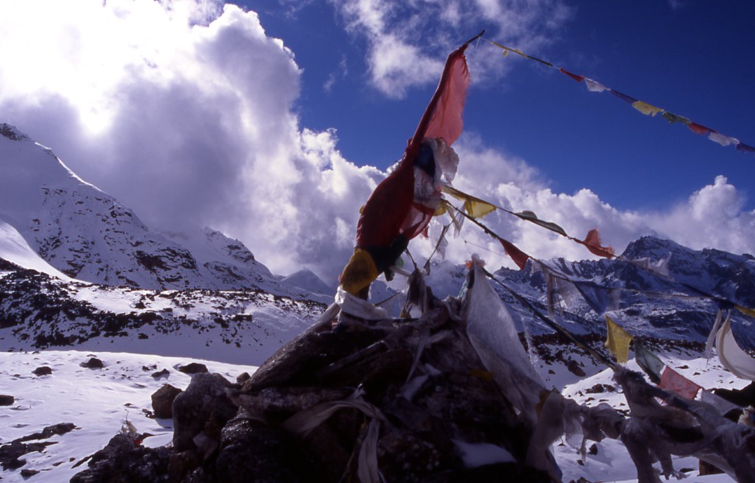
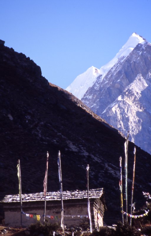
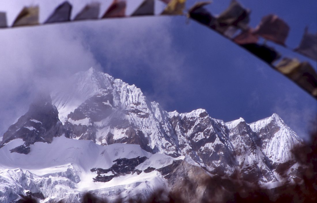
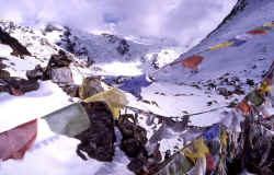
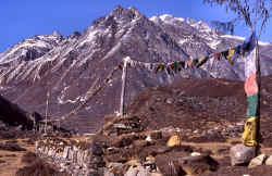
Prayerflags above the village flatter in the strong wind.
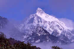
The stupenduous north face of Jannu. Parts of it have been climbed, but not
in a straight route.
|
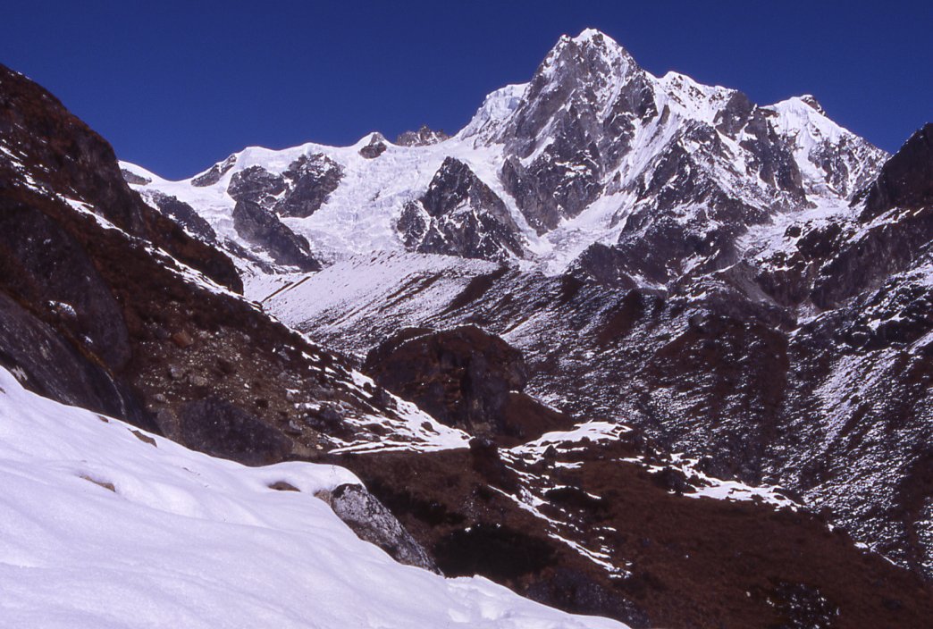
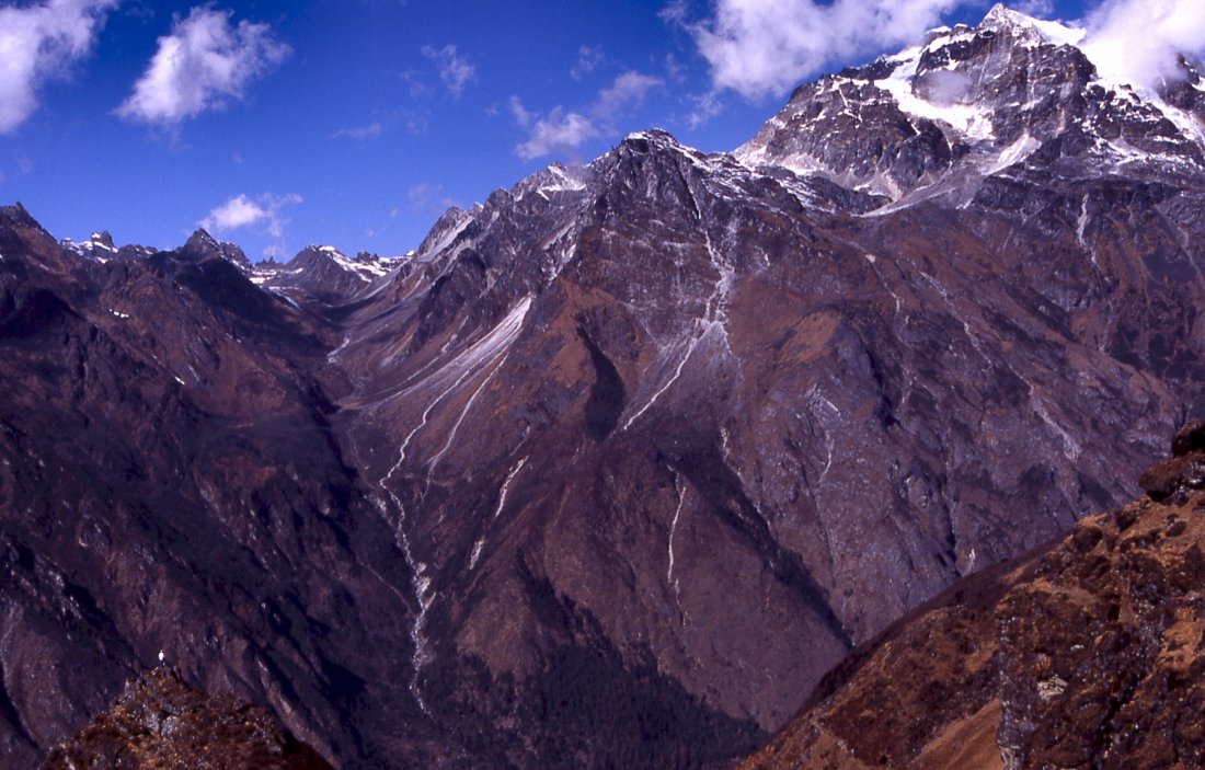
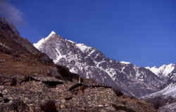
Unnamed peak on the way to the south base camp.
Another unnamed summit on the way to Selele La.
Tremaine standing on a ledge on the left, watching the
Sarphu mountain and the Nango La pass to the left.
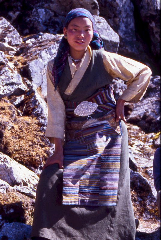
Women from the lower villages set up temporary lodges and
teahouses to accomodate trekkers and porters.
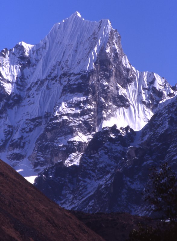
The top of Jannu rises above the ridgeline.
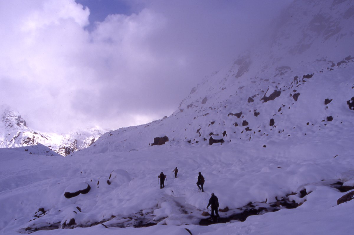
Porters on their way to Selele La meet the leftover snow that an unusual
storm dropped two weeks earlier. Luckily most it has melted since then.
The female porters carry slightly less, and act quite resolutely when the
teasing goes on their nerves.
A local women agreed to carry a load for a day and show us
the way - the friendliness and pride of the locals makes it very pleasant to spend time with
them.

Cragged and fluted ridgeline of Jannu's neighbours, many of them (officially)
unclimbed.
From the pass we even see Makalu and Everst. In the gully on the wooded
ridge we put up camp at Gyabla pass some days before.
Jannu
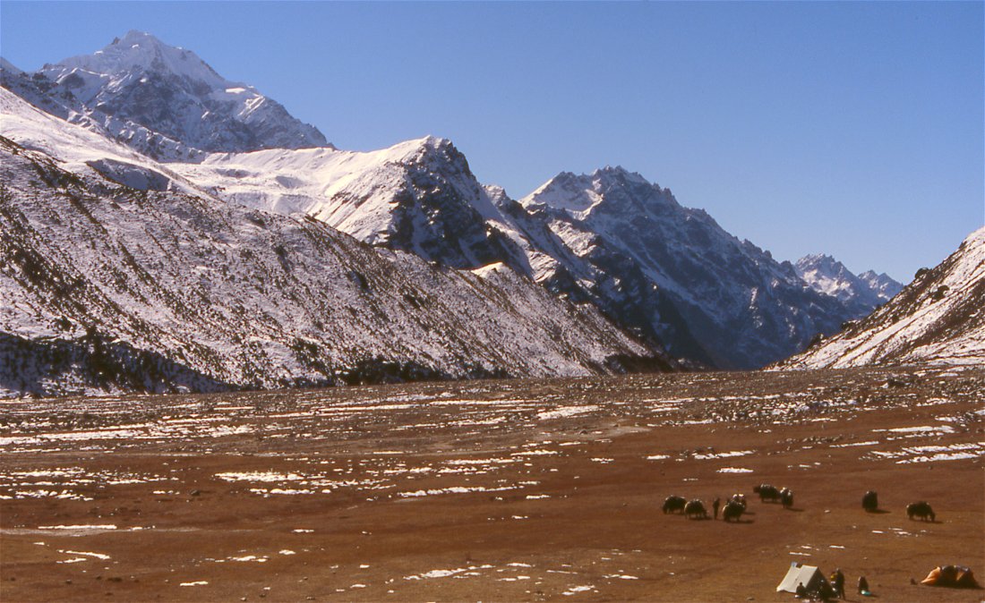
Instead of going straight to Anda Phedi, we camp at Chachung lake.

Reflections of Kabru range in the Chachung lake.
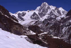
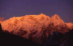
From below camp the steep south-east ridge of Kangchenjunga rises to the
south summit. The main summit is the pyramid on the left.
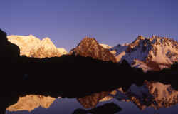
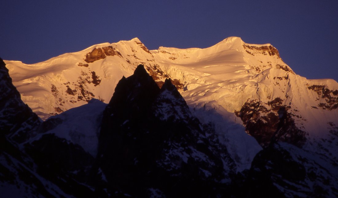
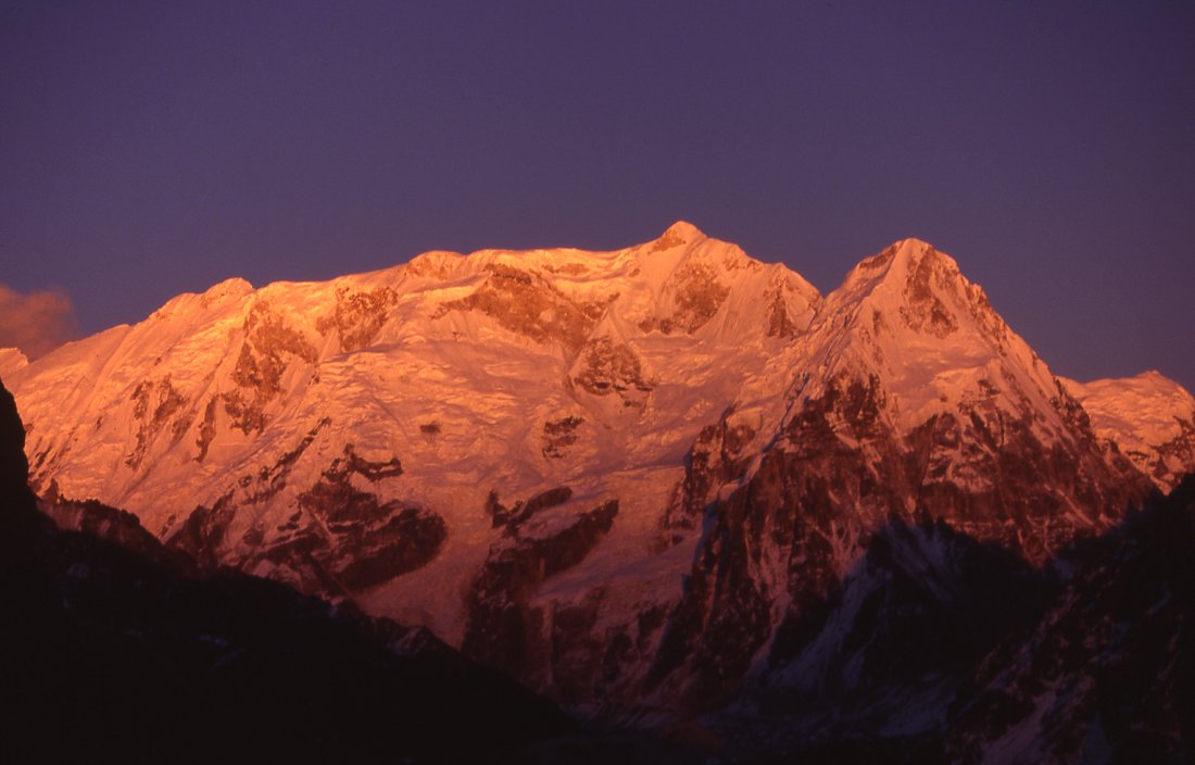
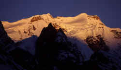
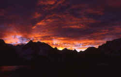
Sunset on the mountains that form the border between Nepal and Sikkim.
Kabru range catching the last rays of the sun before the cool evening
arrives.
Memorable minutes before sunrise when the illuminated
clouds reflect in the Chachung lake, and the mountains are still silhouettes.
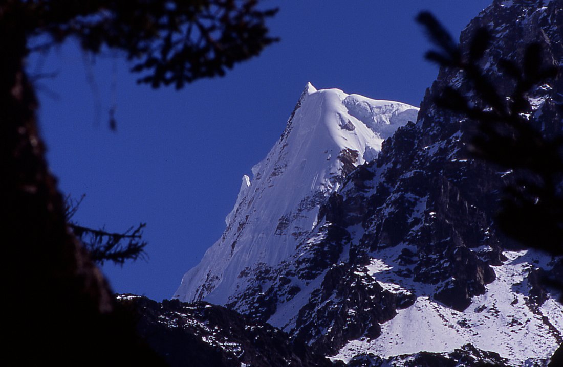
Rathong peak at the border to Sikkim is a fine pyramid of
ice and snow.
Kabru looks like a wall from Anda Phedi when the sunsets sets it abruptly
against the forested valley.
|
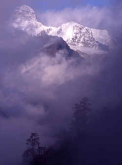
Fog moves in from all sides on the Lasiya Bjanyjang ridge, making the south
side of Jannu more magically.
South face of Kangchenjunga in the clar morning.
Ang Dami, guide and chef extraordaire, on the nice trail between the millet fields around
Khesewa.
Villagers sell us local produce to spicy up our daily dal baht.
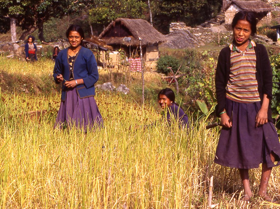
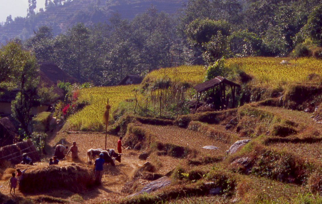
Harvest is in its last stages, the rice was cut and the corn is separated
from the sheaves by water buffalos.

Rice ripens first and has first priority, then people start with millet
harvest.
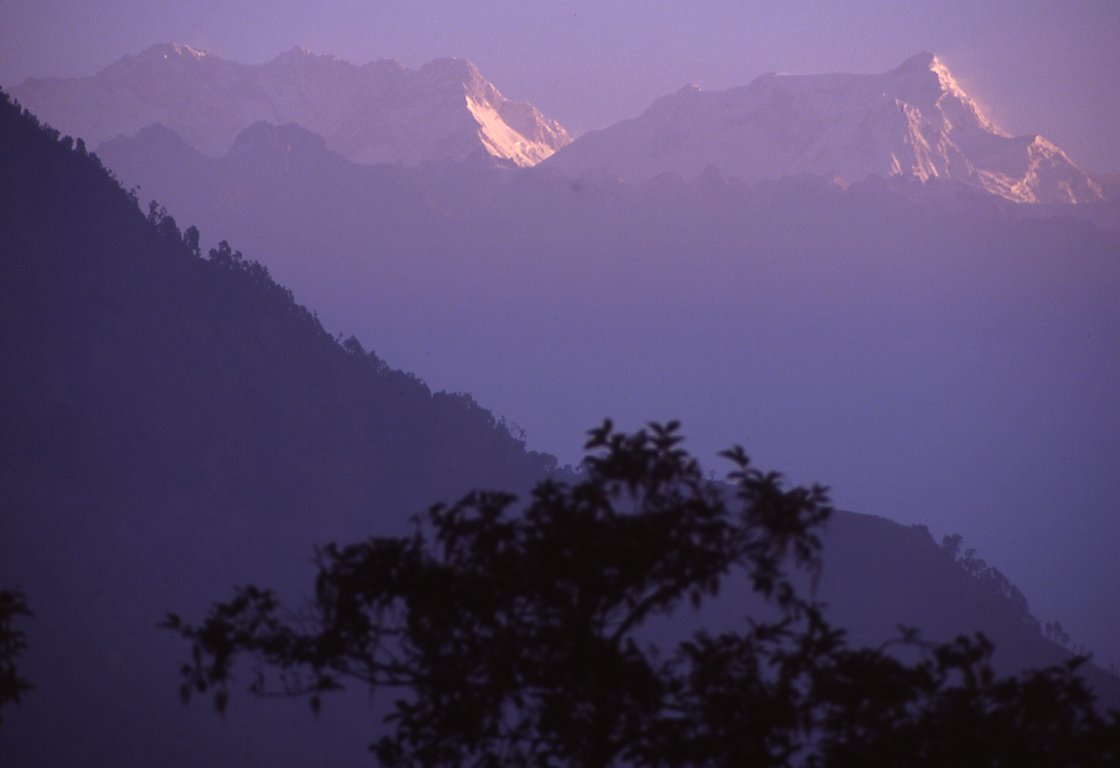
The farther we get away from the mountains the higher they seem to get.

The ice and snow of the Kabru range contrasts icely with
the terraced fields of Phumpdanda.

Girls are harvesting millet, the rice harvest was finished a few weeks
earlier.

Kangchenjunga's south-east face catches the early morning sun as does Kabru,
seen from the last camp before getting back to Suketar.
We pass harvest scenes all the way back to Suketar.
The last major village before the climb towards the end of the trek.
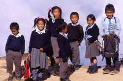
Kids on their way to school.
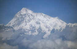
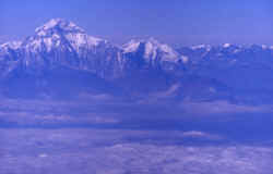
On the way home from Kathmandu to Delhi: Manaslu
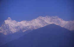
A few minutes later the entire Annapurna range and
Dhaulagiri appear - just make
sure you get a right window seat.
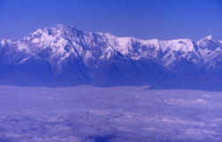
Annapurna south face from the airplane.
Dhaulagiri (8'167 m) is the westernmost high peak of Nepal that's visible
from the plane.
|
|