|
|
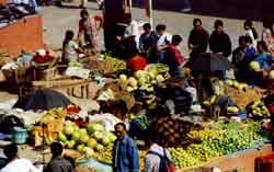
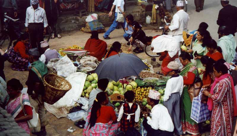
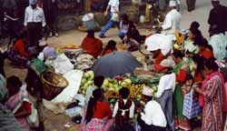
Market scenes in Kathmandu make the city seem more relaxed than it is.
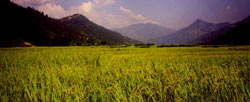
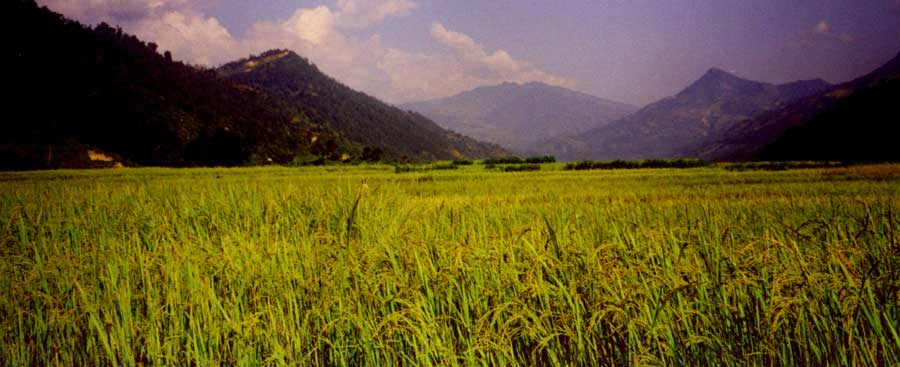
The wide rice fields in the flat valleys and the warm temperates are a great
contrast to the mountain scenery of the coming days.

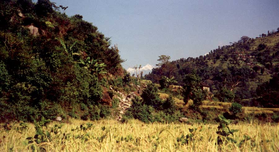
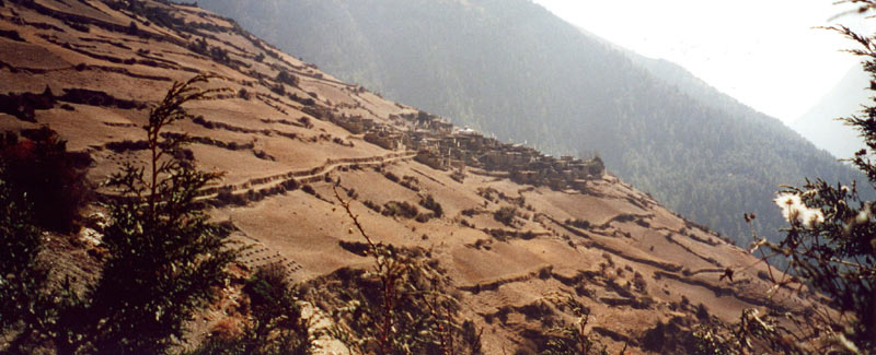
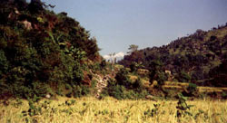
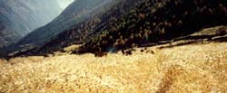
Rice terraces cover the gentle hills north of Gorkha.

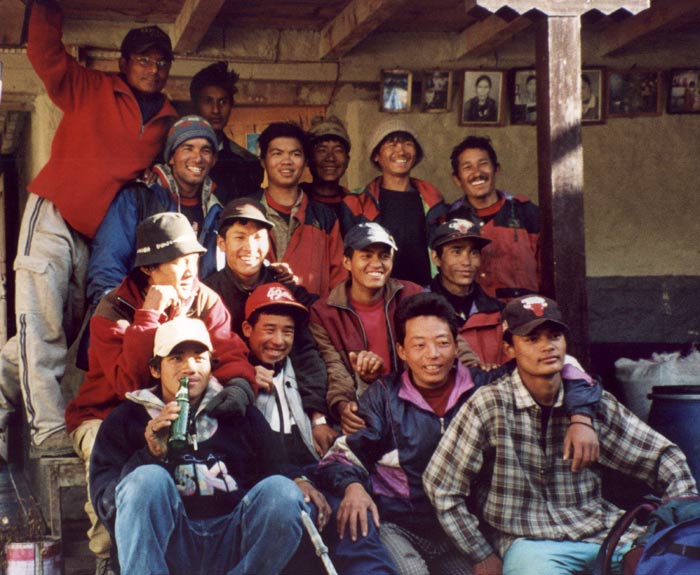
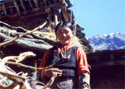
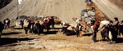
Our crew, Sirdar Bharat at the top left, kitchen crew in foreground, sherpas in
the middle and the toughest porters on the right.
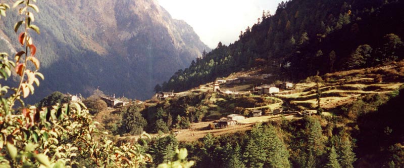
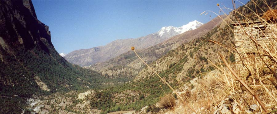
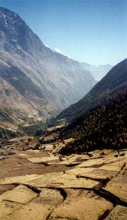
The terraces get steeper as we get further up in the Buri Gandaki gorge.
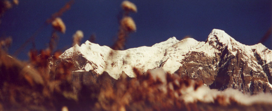
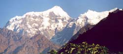
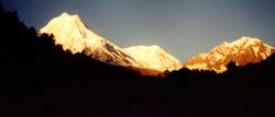
The high summits of Shringi and Ganesh rise above the yellow fields and lush
hills.
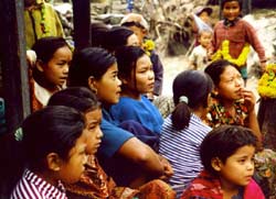
The last day of the important Hindu festival Dawali is celebrated in the small
villages.

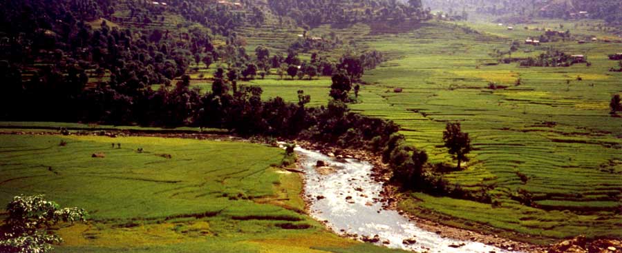
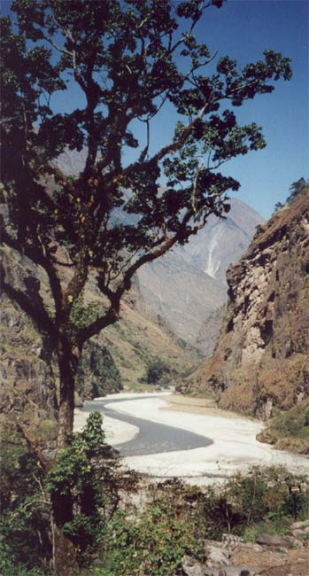
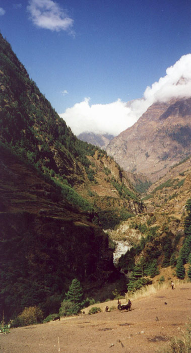
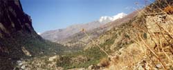
The river runs in a deep gorge most
of the time, the wider spots are a
nice contrast.
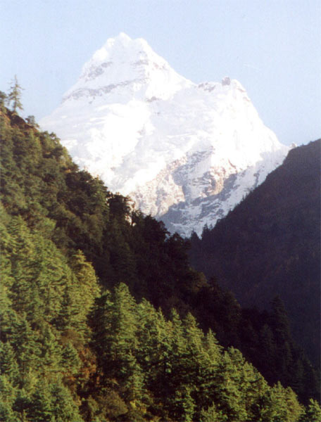
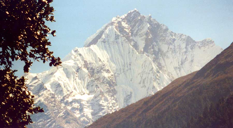
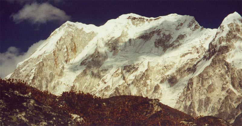
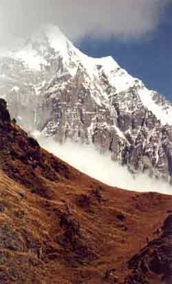
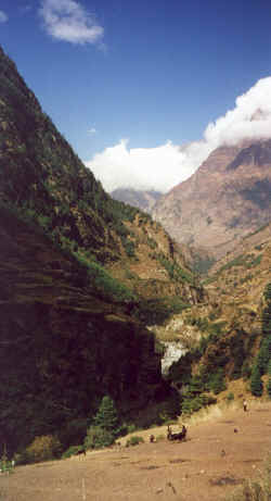
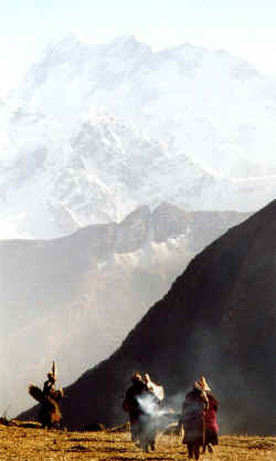
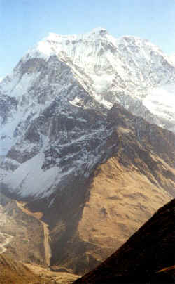
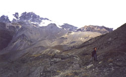
We get closer to the mountains literally day by day, after Jagat the sheer face
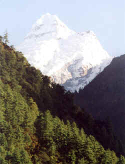
of Shringi Himal is the first 'real' mountain we see..

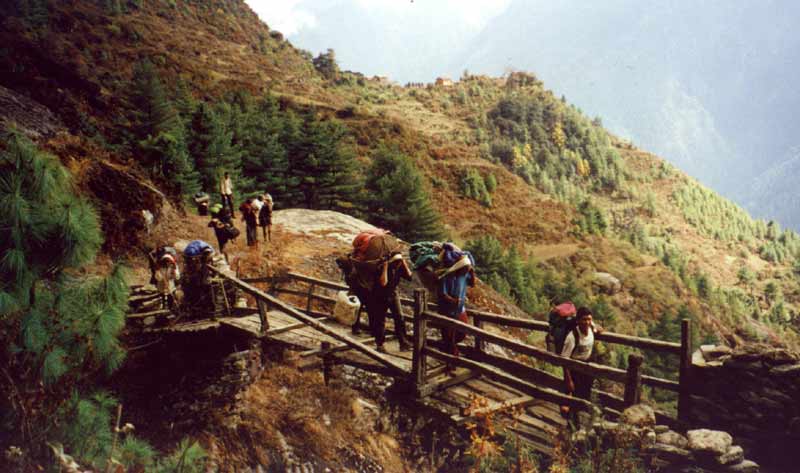
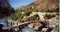
The trails and bridges are in a good condition, considering it was never a much
frequented trade route. Infrastructure has been renewed recently by MCAP
(Manaslu Conservation Area Project).
|
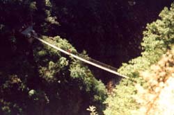
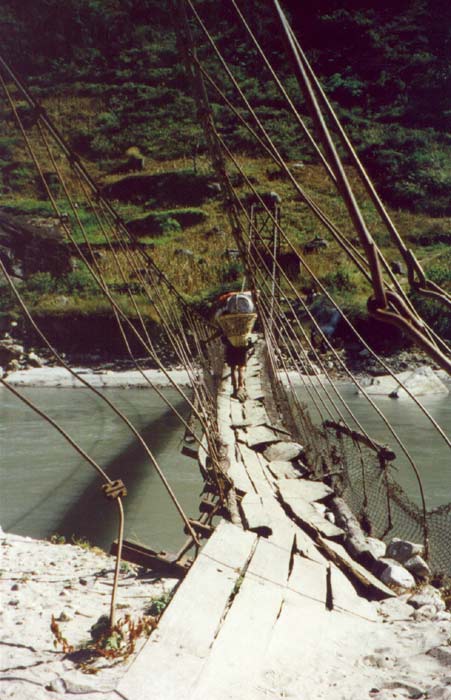
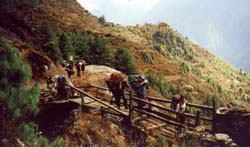
Exposed trails in dense forests run high above the deep gorges and valleys, this
is the most exciting bridge during the whole trek.
The steep glacier from Ganesh III is just one of the many impressive mountain
views on our first day in the high country.
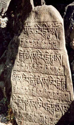
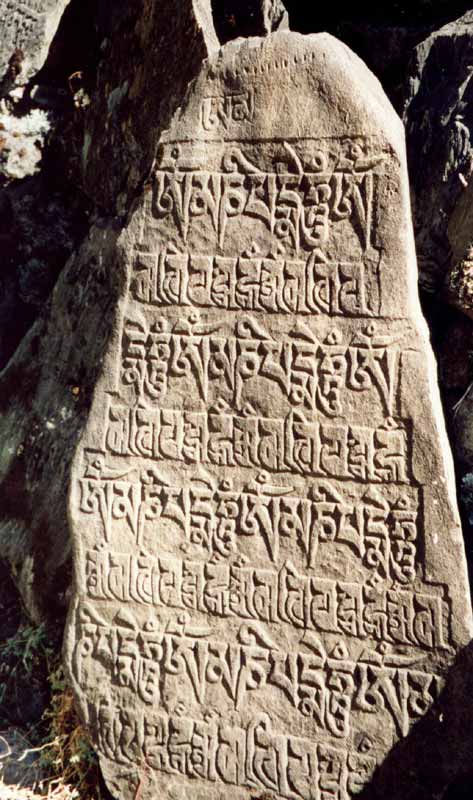
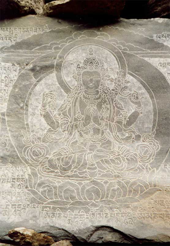
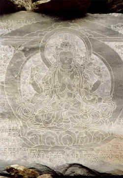
Like in most parts of Nepal, the regions in the north are almost completely
Buddhist. Carved stones with mantras and prayers are the first obvious sign of
meeting with a new culture.
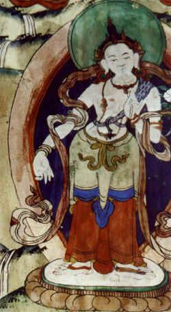
Old scripts tell of worthy deeds of early and famous lamas that lived in the
area. The famous Milarepa is believed to have spent some time in Tsum.
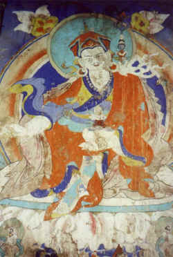
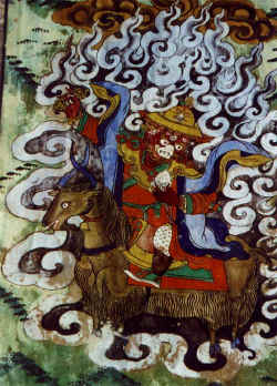
Padmasambhava brought Buddhism to Tibet. The founder of the Nyingmapa sect is
very popular, paintings and statues of him are very common in this part of
Nepal.

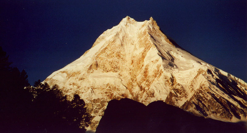
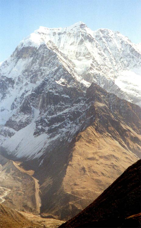
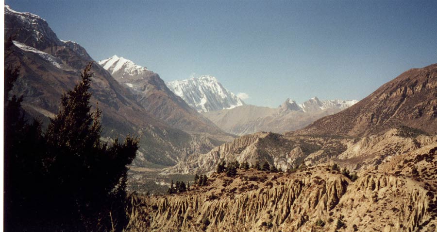
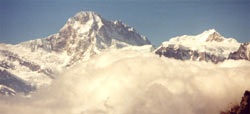
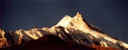
The impressive west face of Ganesh I (7'406 meters) from the trail to base camp.
The steep hike from Domjet is rewarded not only by fantastic views of Ganesh and
Himal Chuli, but by a nice village high above the river.
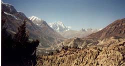
The southern end of the Tsum valley lies between two ranges of 7'000 meters, the
northern end stretches deep into Tibetan (Chinese) territory is more flat and
part of the high plateau. This a view from the spectacular high traverse towards
Nupri.
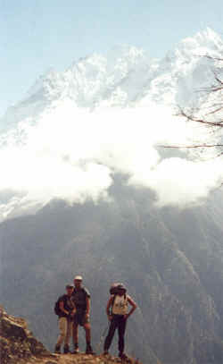
Lizzy, John and Jamie posing.
The colourful fields and villages high up on the steep mountain flanks make the
traverse below Shringi one of the highlightes of our trek.
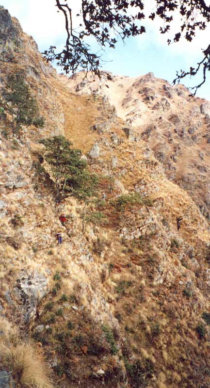
Porters taking the steep trail, the sheer rock face of Shringi Himal is just
coming out of the morning fog.
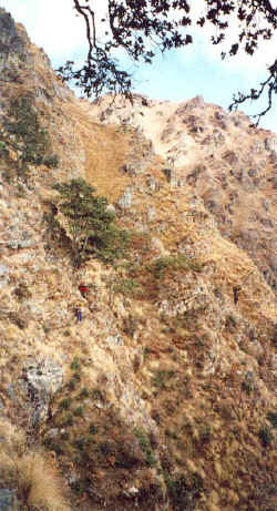
It is not exactly rockclimbing, but the trail does require to hold on rocks and
bushes. And it is steep.
Some tricky spots and long days can be expected on that trail, but it is
absolutely worth it.
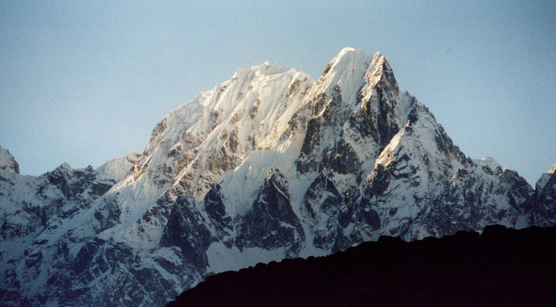
Himal Chuli, gigantic peak next to the Manaslu range.
|
At first the Nupri valley is narrow but after two days will open up and large
fields will grow on the more gentle valley walls.
Delicate carvings depict entire scenes of Buddha's life and admired deities.

Lihi village gives us a first taste of the lovely villages ahead.
People are harvesting ripe barley in the wide terraced fields above their
villages.
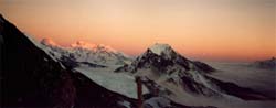
The valley still lies in darkness when the sun hits the top of Manaslu and its
satellites.

The subtle changes of the light on the ice are terrific, turning from grey to
pink to orange to yellow and then the 'regular' white.
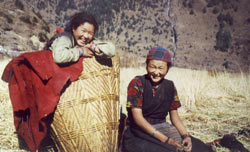
Lho is a large village, surrounded by dense pine forests and many fields
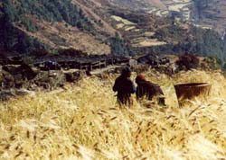
The barley is ripe and people are busy harvesting from early in the morning
until late in the evening. Mostly women and children work on the fields, the men
are away on trade in Tibet.
The mani wall at the town's end is probably the longest one in the area. The
white-washed chorten features excellent paintings.
One of the may detailled and nicely-coloured figures depicted on the inner wall
of the chorten.
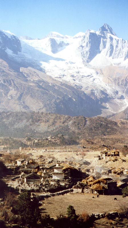
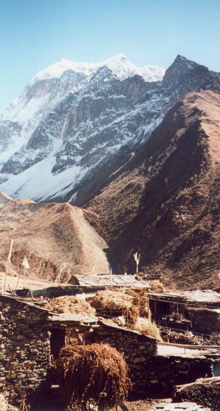
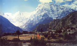
Sama village is situated in the wide valley at the foot of Manaslu and its
glaciers.
Once again the sunrise is beautiful, Manaslu does not appear to be 8'000 meters
high from Sama.
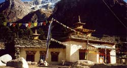
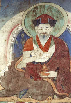
The monastery in Sama is in regular use and very well-kept. The paintings on
wooden panels are fantastic, the mural paitings equally well done.
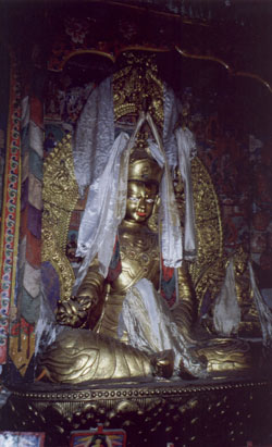
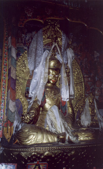
Statue of Guru Rinpoche in the main hall of Sama monastery.
|
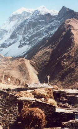
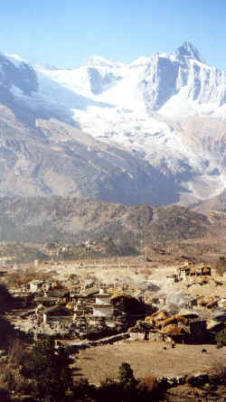
Samdo is a lovely village of two dozen simple Tibetan houses was founded by
refugees just 50 years ago. It is situated at the confluence of three valleys
and lies in the shade of Pang Puche.
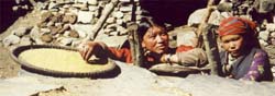
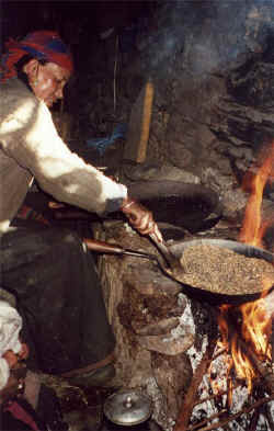
Barley corns being roasted and then ground into tsampa.
After performing a protection ceremony in the house of a wealthy family, the
lama and laymen carry the effegies and offerings to the town's chorten.
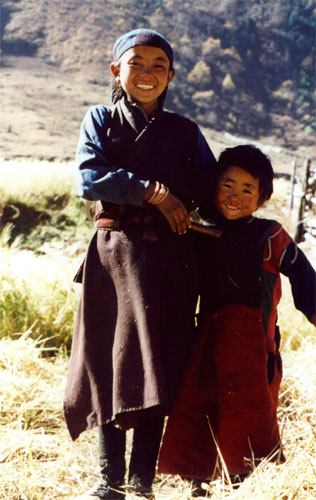
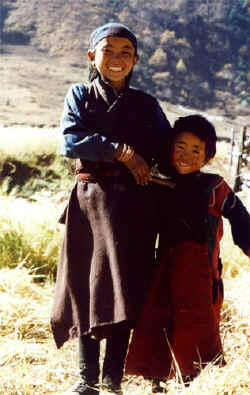
Kids playing around their house.
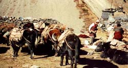
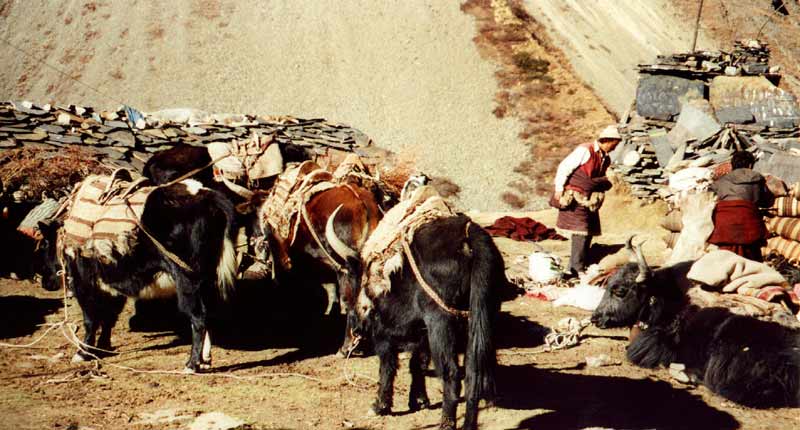
There is little land for agriculture, the men are away during most of the summer
and autumn with their yaks. The border is just a few hours away and the passes
just a little more than 5'000 meters, but trade volumes are decreasing.
The small dots at the bottom of the valley are the houses of Samdo, as seen on
the way to the base camp for Larkya La.
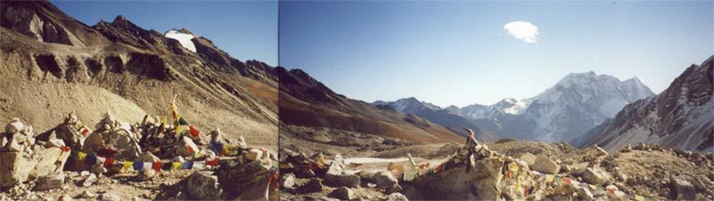
From Dharamsala it is a three-hour walk along the moraine to the pass. Its
official height is 5'220 meters, supposedly it less than that.
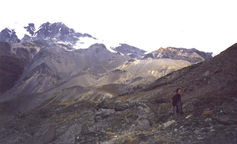
The view to the east with Pang Puche.

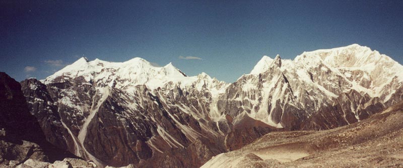
Larkya La: View to the west. After walking down the steep trail above the
moraines for a few minutes, the Annapurna range rises beyond Kichke massiv.
Between the three moraines in the valley lies a turquose glacial lake.
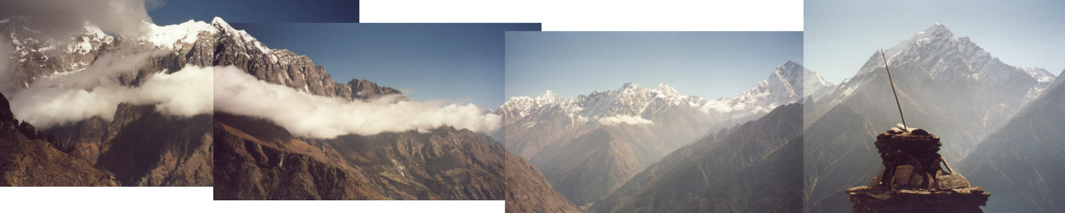
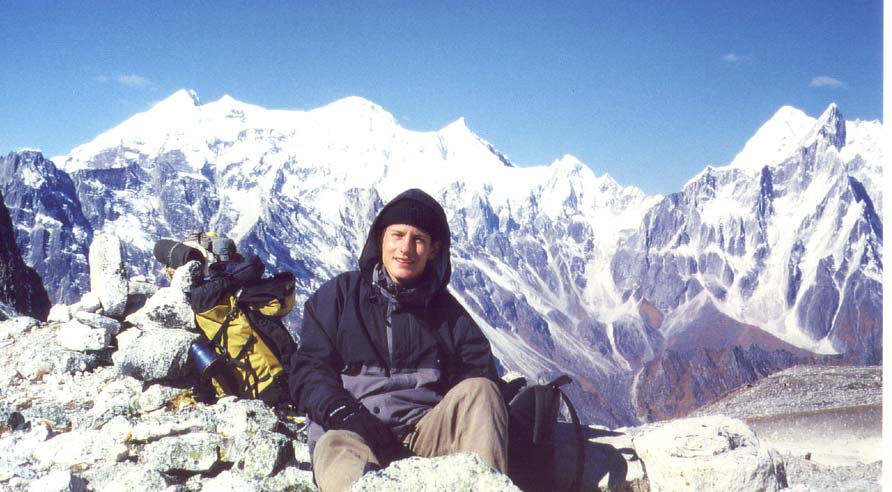
Resting on the pass and enjoying the magnificent surroundings!

Larkya La: View to the north. Cheo Himal forms an impassible barrier to the
Tibetan high plateau.
|

Steep mountains beyond Bimthang get the first sunrays in the early morning.
We enter the high valley of Manang and cross the river Marsyangdi to climb up to
the high route. Most tourists follow the river upstream, the villages and views
are absolutely worth the small extra effort.
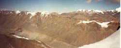
The enchanged Marsyangdi valley with Chulu Far East in the background.
The organ-pipe erosion of the valley is contrasting nicely with the forests and
huge mountain range of the Annapurnas.

The three villages are depending on agriculture more than trade. Terracing the
steep hillsides is almost impossible, but it is flat enough to grow potatoes and
grain.
|
The small village of Chulu has kept its charm since it lies hidden in a
less-frequented sidevalley. Annapurna and Gangapurna rise behind the organ-pipes
and the houses.

Mountains from Pisang Peak to Annapurna I
(click here for 3D-Panorama-Viewer)
The way from the Marsyangdi valley to the basecamp requires a steep walk through
barren yet colorful gravel slopes.
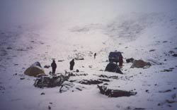
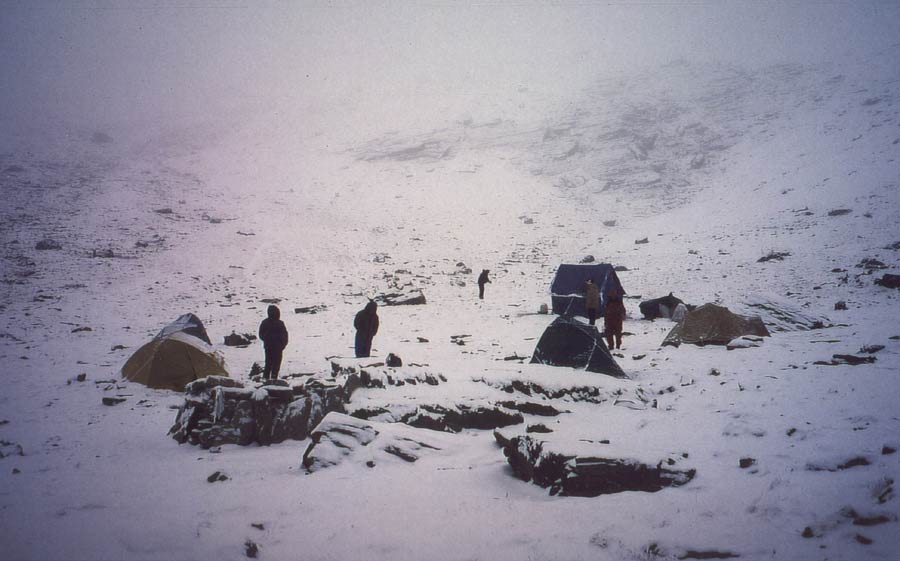
Suddenly bad weather moves in and forces us to spend two nights at -20°C.
Luckily we can move on after a day and set up high camp on the col at 5'500
meters.

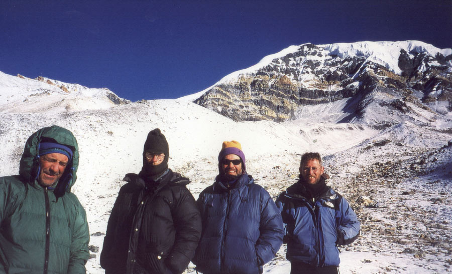
Tom, John, Dana and Jamie in front of Chulu Far East which is climbed on the
left ridge.
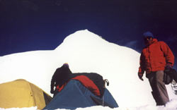
When looking at the summit from high camp at 5'600 meters, the 500 meters to the
peak are much steeper than it looked from further down.
After climbing a nasty scree slope we break camp on the saddle between the
ridges of Chulu East and Chulu Far East. Manaslu (left) rises high above all the
other mountains.
Does Jamie seem to be enjoying this?
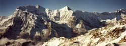
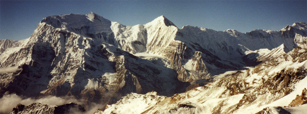
View from the Col Camp towards the Annapurna range. Annapurna I (8'091 meters)
is at the very right.
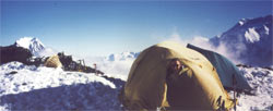
The valley is already in the shade, but the sun is still setting on the Manaslu
massiv. It is a cold night with strong wind, but inside the tent we enjoy the
comfortable atmosphere.
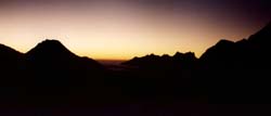
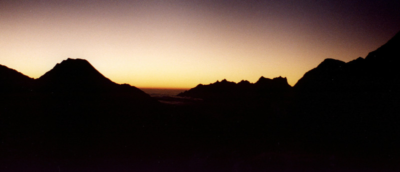
The silhouettes of the mountains stand out against the thin orange line at the
horizon where the sun will rise any moment.
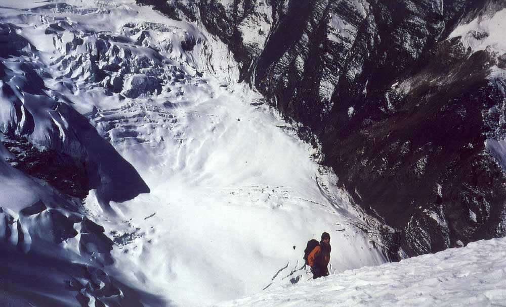
Far down the glacier winds its way through the steep valley.
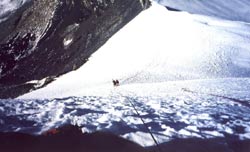
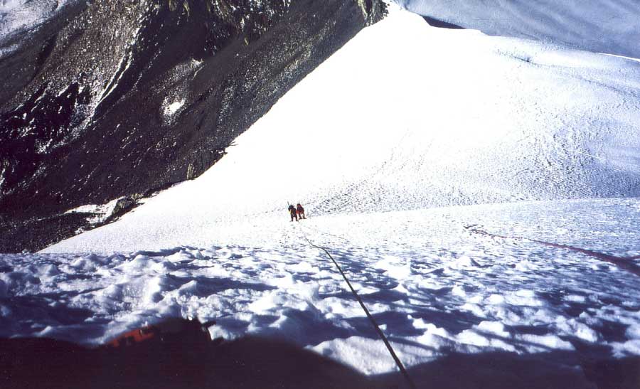
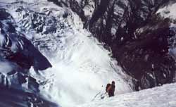
The first steep section which is somewhat less scary when using a rope.
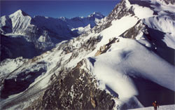
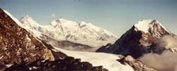
Why do people climb mountains? This picture should answer all questions. View on
the Annapurna range from Gangapurna to Annapurna I (8'091 m) from a flat spot
after our first rope section. Our tents are the two small dots near the ridge
that we climbed up through the black slope on the left.
While waiting to climb the summit ridge, we enjoy the views towards Tibet. The
Nar valley just below us is rarely visited by tourists. A destination for the
next trek?
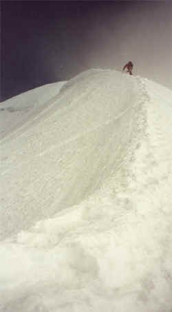
Jamie 'went ahead' to fix rope for the last ridge before the summit. Maybe I am
exaggerating, but certain death lingers on both sides of the narrow ridge. Tom
climbs first, 20 minutes later we all meet on the summit.
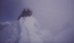
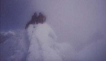
The summit at 6'060 m! And if you don't believe that's me on the left, I will
show you the scars on my hands :)
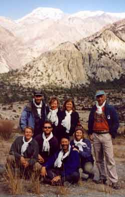
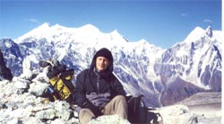
The tourists in front of Chulu Far East:
- Happy about the fantastic trek.
- Looking forward to a hot bathtub and apple pie.
- Destined to come back.
|
|